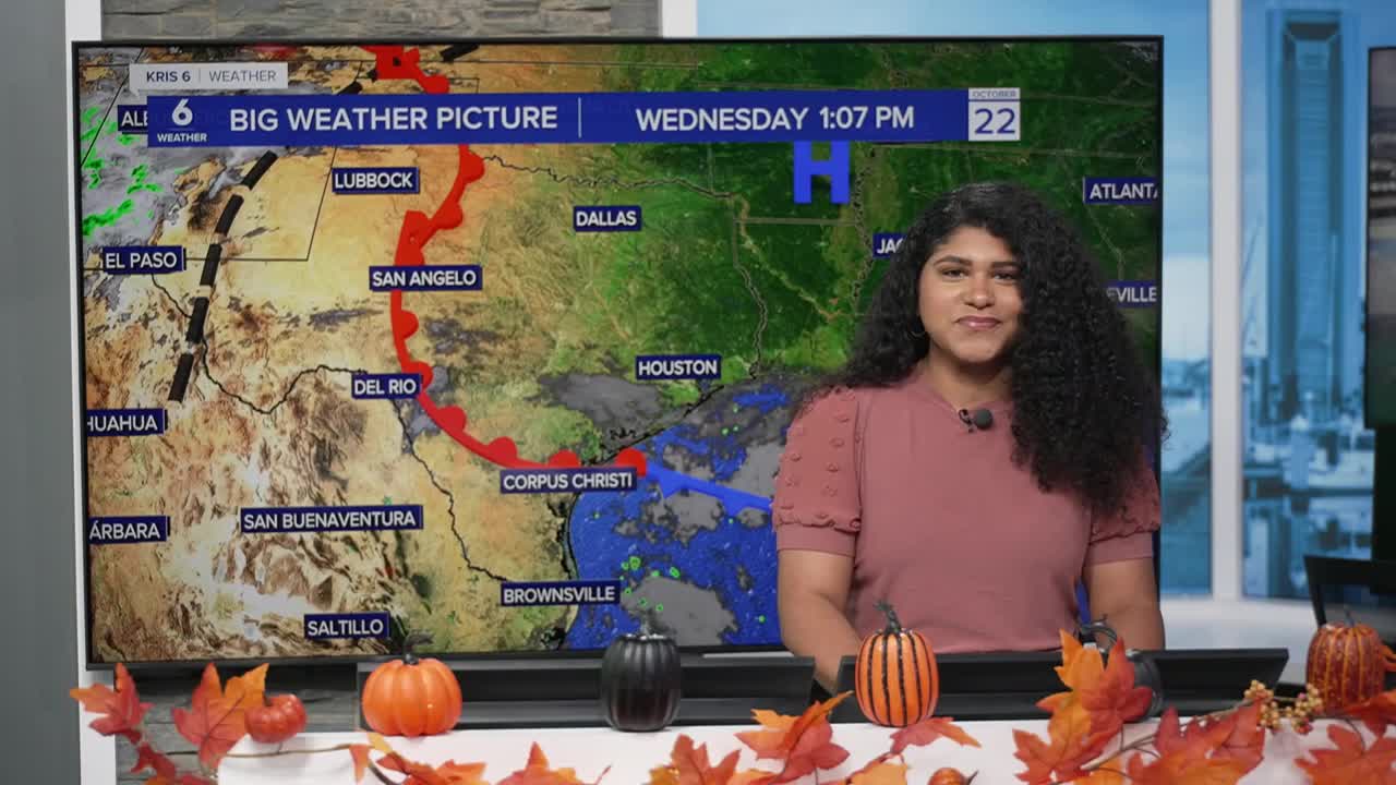


CORPUS CHRISTI, TX — We’ve had a cold front move through South Texas, but you might’ve noticed—it’s not exactly chilly out there. That’s because as the air sinks behind the front, it gets compressed closer to the ground. When air compresses, it actually warms up. So while the front brought in slightly drier air, that sinking, compressing air keeps our temperatures warmer than you might expect for a post-front day.
Cold fronts don’t always bring cold air immediately—especially in South Texas. Another idea to keep in mind while taking a look at temperatures across the states is that we would need colder air moving down from the north to cool our temperatures here. If the air is not as cold, it is considered a weaker cold front and our temperatures barely move.
The air behind some fronts sinks, and as it does, it’s squeezed by the higher pressure near the ground. Add in sunshine and a dry atmosphere, and the result can actually be warmer afternoons, even after a front passes!
Behind a cold front = higher pressure
- After a cold front passes, a high-pressure system (a dome of denser, cooler air) usually builds in behind it.
- That air is heavier and tends to sink toward the surface.
As air sinks, it moves into higher pressure
- The atmosphere is like a giant stack of air layers.
- The deeper you go, the more air is above you — meaning higher pressure.
- When air sinks, it moves from a region of lower pressure (higher up) to a region of higher pressure (closer to the ground).

Compression = warming
- As the air sinks into higher pressure, it gets compressed — the molecules are squeezed closer together.
- When air molecules are compressed, they speed up, which increases their temperature (this is called adiabatic warming).
- It’s the same principle that makes the nozzle of a bike pump get warm as you push air into a tire.
Result: warm, dry air behind the front
- This sinking, compressing air warms up and dries out.
- So even though the air mass originally came from a cooler source (like the plains), the downward motion and compression can make surface temperatures stay warm — especially when skies clear and sunlight adds an extra boost.
Our next “light” cold front arrives this weekend, but a more impactful cold front is expected to arrive in south Texas just in time for Halloween.
