

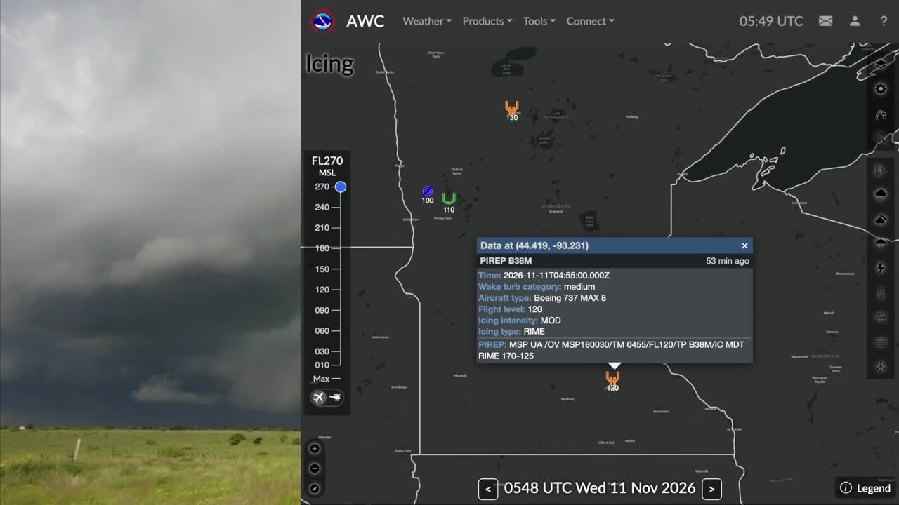


CORPUS CHRISTI, TX — With the recent jet crash in Florida making headlines, many people have been hearing about "aircraft icing." In this week's Science Snippet, I'm breaking down what icing is, how it forms, and how it can pose a danger for any aircraft.
Up where airplanes fly, the air temperature is usually much colder than 32 degrees Fahrenheit, or 0 degrees Celsius — the freezing point of water. But liquid water doesn't always freeze into solid ice at this temperature. Liquid water that is colder than freezing is considered "supercooled." In order to freeze, these supercooled water droplets need something to grab onto. At flight level, that "something" could be a cold airplane, causing the droplets to freeze instantly on contact with the aircraft.
This is just one of the reasons why pilots avoid flying too close to thunderstorms. Powerful updrafts can sweep massive amounts of supercooled water high up into sub-freezing air, and this can rapidly cause ice to accumulate on the aircraft — otherwise known as aircraft icing.
Depending on the droplet size and air temperature, ice accumulates in three ways:
- Rime icing happens when tiny droplets freeze instantly, trapping air to create a rough, visibly white buildup of ice.
- Clear icing happens more typically with larger droplets that spread over the wing before freezing into a smooth, often invisible sheet of ice.
- Mixed icing is a dangerous combination of both clear and rime icing.
So why is icing dangerous? It changes the aerodynamics that make any aircraft fly. Take, for example, the airfoil, or "wing," of an airplane. Looking at a cross section, you can see that the airfoil has a curved shape. This forces air to move at different speeds around the top and the bottom, creating high pressure under the airfoil. This is called "lift," and it's the magic that makes airplanes fly. During aircraft icing, the buildup of ice can change this curved shape, reducing or eliminating lift altogether.
Icing can happen more quickly on smaller airfoils, such as element of the tail, or on rotorcraft (helicopters, for example). Many aircraft have "de-icing" equipment that can help to heat the airfoils, melting the ice.
The best way to avoid icing is to avoid the conditions that can cause it. That's why pilots and meteorologists work together constantly. Aviation weather forecasters map out freezing levels and Significant Meteorological Information, or "SIGMETs." Pilots send back real-time reports of unfriendly conditions along their route called "PIREPs."
Aviation weather forecasters look for weather than can create turbulence, dangerous crosswinds, and avoid areas where icing is likely. They can also help to find a more efficient route that uses the advantage of tailwinds. These forecasters write specialized forecasts in a coded format. Terminal Aerodrome Forecasts (called TAFs for short) include important weather forecasts tailored to aviators. The latest weather conditions are provided in a Meteorological Aerodrome Report (called a METAR for short). Check out the latest TAFs and METAR for: NAS Kingsville, NAS Corpus Christi, and Corpus Christi International Airport.
To learn more about aircraft icing, check out this guide from the Aviation Weather Center.
