


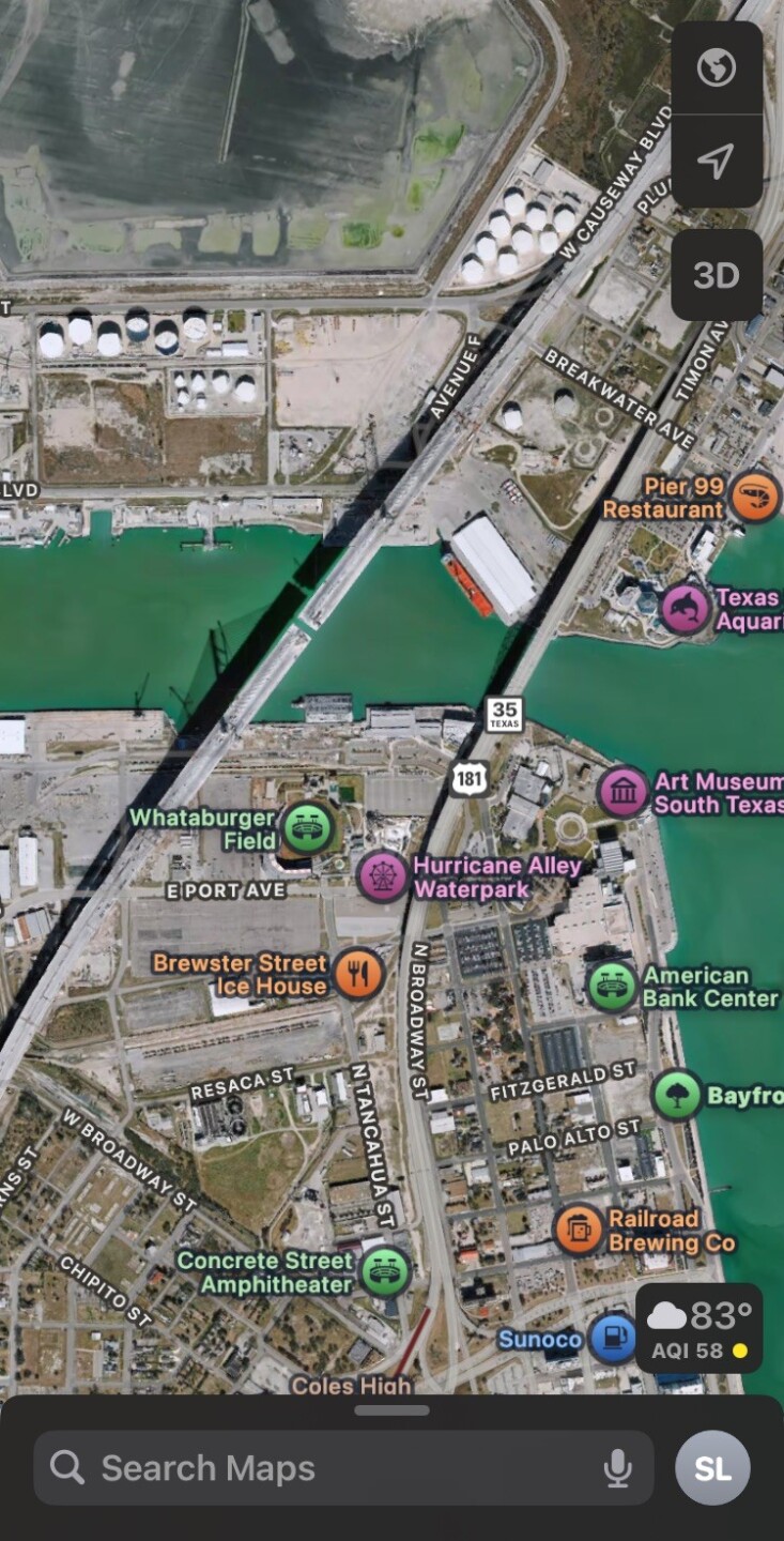
CORPUS CHRISTI, Texas — The new Harbor Bridge is starting to appear on some maps. On Thursday, some neighbors noticed that the structure now appears on Google Maps. Apple Maps still shows an image from before the bridge was completed.

Where there's a bridge, there's a route
Even as the structure begins to appear on maps, many popular map apps don't yet have the updated route data for the new Harbor Bridge. Like Google Maps, our KRIS 6 Traffic maps are also still adjusting to the new route.

The current traffic patterns around the new bridge are temporary and soon the northbound lanes of US HWY 181 will be shifted to the new bridge. This could make some route guidance applications less useful when commuting between North Beach and Downtown. This will take some time, but exactly how much time will depend on the map provider.
You can do something about it
Want to see more accurate route data in your favorite map app? Here's how you can help! Both Google and Apple have instructions on how to let them know about the new routes, like the new Harbor Bridge.
Here are instructions to add or fix a road in Google Maps, to make a report in Apple Maps.
For the latest local news updates, click here, or download the KRIS 6 News App.
Catch all the KRIS 6 News stories and more on our YouTube page. Subscribe today!
