



CORPUS CHRISTI, Texas — Happy Tuesday, Coastal Bend!
WHAT YOU NEED TO KNOW
- A few showers expected on Wednesday
- Temps remain warm for this time of year
- Humidity rising with breezy onshore winds
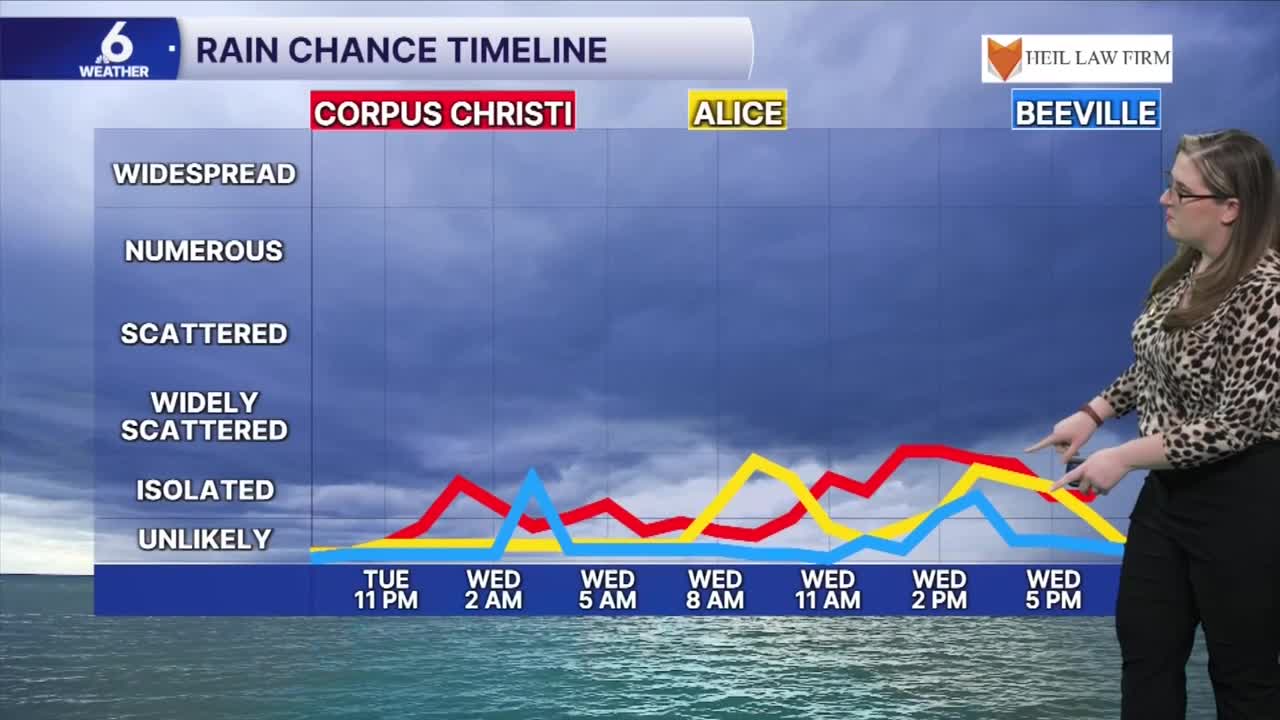
Will your neighborhood see rain?
Onshore winds are bringing humidity back to the Coastal Bend. A "wrinkle" of low pressure along will develop along our coast (fancy term: coastal trough) and will tap into this moisture. It looks like a few showers will sneak into the forecast on Wednesday morning, early Wednesday evening, and possibly continue into early Thursday morning. Neighborhoods along the immediate coast, as well as those across our southern counties will have a better chance at rainfall— still, don't count on significant accumulations.
Fortunately, the big weather picture will be changing early next week. South Texas as a whole will have a better probability of showers. A trough of low pressure is developing out west and could bring a wetter weather pattern to our forecast early next week.
Temperatures
Afternoons in the mid 80s have been very comfortable with less humidity. As those high temps rise to the upper 80s this weekend, morning low temps will stay on either side of 70ºF. Either way, you'll definitely notice more 'air-you-can-wear'. Don't worry, no oppressive summer humidity is in the forecast.
The Tropics
An area of low pressure off the east coast has a moderate chance of development this week. It's not a concern for Texas. The next storm name on the list is 'Josephine'. <="The NHC is monitoring an area of possible development near the east coast.">
Have a great evening!
