

CORPUS CHRISTI, Texas — Happy Tuesday!
WHAT YOU NEED TO KNOW
- Daily rain chances this week
- No significant rainfall Wednesday
- Heat risk is still moderate (2 out of 4) through next week
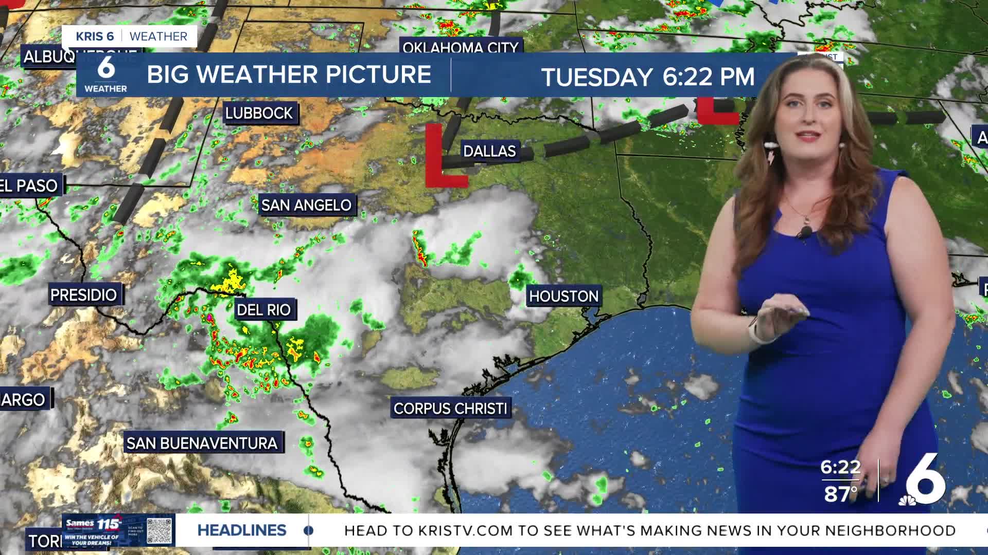
Daily rain chances continue this week in the forecast. We are not expecting a significant amount of rain, but a few lucky neighborhoods will fare better than others. Wedensday's sea breeze will likely initiate showers and thunderstorms that miss the immediate coast and move inland over the course of the afternoon.
High will be hotter, with fewer clouds than Tuesday's storms. High temps will top out a few degrees above normal in the upper 90s for most. Heat risk will remain at least moderate (2 out of 4) through the weekend. Please be careful are check in on kids, pets, and the elderly as they are more susceptible to heat-related illness. Cooler temperatures are just a few weeks away! One of the earliest cold fronts of the season will near Houston on Thursday and Friday. Nope— the cold front won't be strong enough to 'do much cooling' here in the Coastal Bend. If the front fizzles out closer to us, it will likely increase our chances for rain.
CORPUS CHRISTI FORECAST
Tonight: A few clouds, patchy fog
Temperature: Low 75ºF
Winds: Light & variable
Wednesday: Partly cloudy, a few PM t-showers
Temperature: High 97ºF
Winds: ESE 10-20 mph
Wednesday night: Decreasing clouds
Temperature: Low 74ºF
Winds: Light & variable
Have a terrific evening!
