

CORPUS CHRISTI, Tx — Good morning and Happy Friday Coastal Bend!
WHAT YOU NEED TO KNOW
- Warm and windy today in the mid 80s
- Iso thunderstorms possible tomorrow evening and night
- Cold front arrives tomorrow night bringing cooler temps
- Rainy Easter Sunday following the front
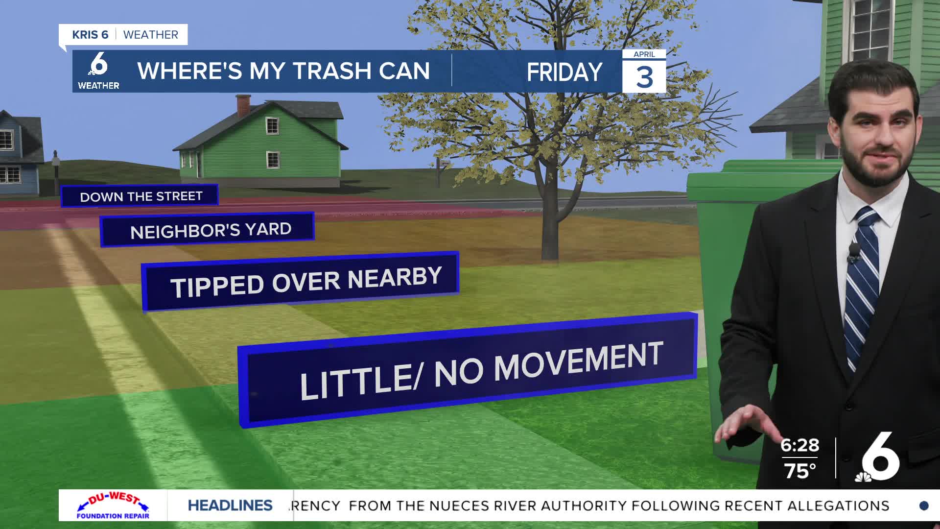
Today we're still holding on to the breezy winds from the southeast around ~15-20mph this morning. By the afternoon we'll see them pick up closer to the 30-35mph mark in peak gusts. Afternoon highs should round out in the mid 80s for most of us with a few lower 90s inland towards Duval county. As we head into tomorrow we'll start to see the pattern shift with our next cold front arriving in the area.
It's currently looking like tomorrow night the cold front approaches in the evening and could even kick up a couple of thunderstorms for us as it does. The better chance for rain is going to be tomorrow night and into Easter Sunday with scattered showers and storms across the region. If you can I would recommend an indoor egg hunt this year with the rain around! Going into next week we should warm back up to the 80s as we head into Wednesday.
CORPUS CHRISTI FORECAST
Today: Mostly Cloudy, Isolated Shower or two
Temperature: 86F
Winds: SE 15-25 mph, G 25-35 mph
Tonight: Mostly Cloudy
Temperature: 72F
Winds: S 10-20 mph, G 20-25 mph
Saturday: Mostly Cloudy, Isolated T-Storm or two in the evening
Temperature: 87F
Winds: SE 10-20 mph

I hope you have a great Friday Coastal Bend!
