

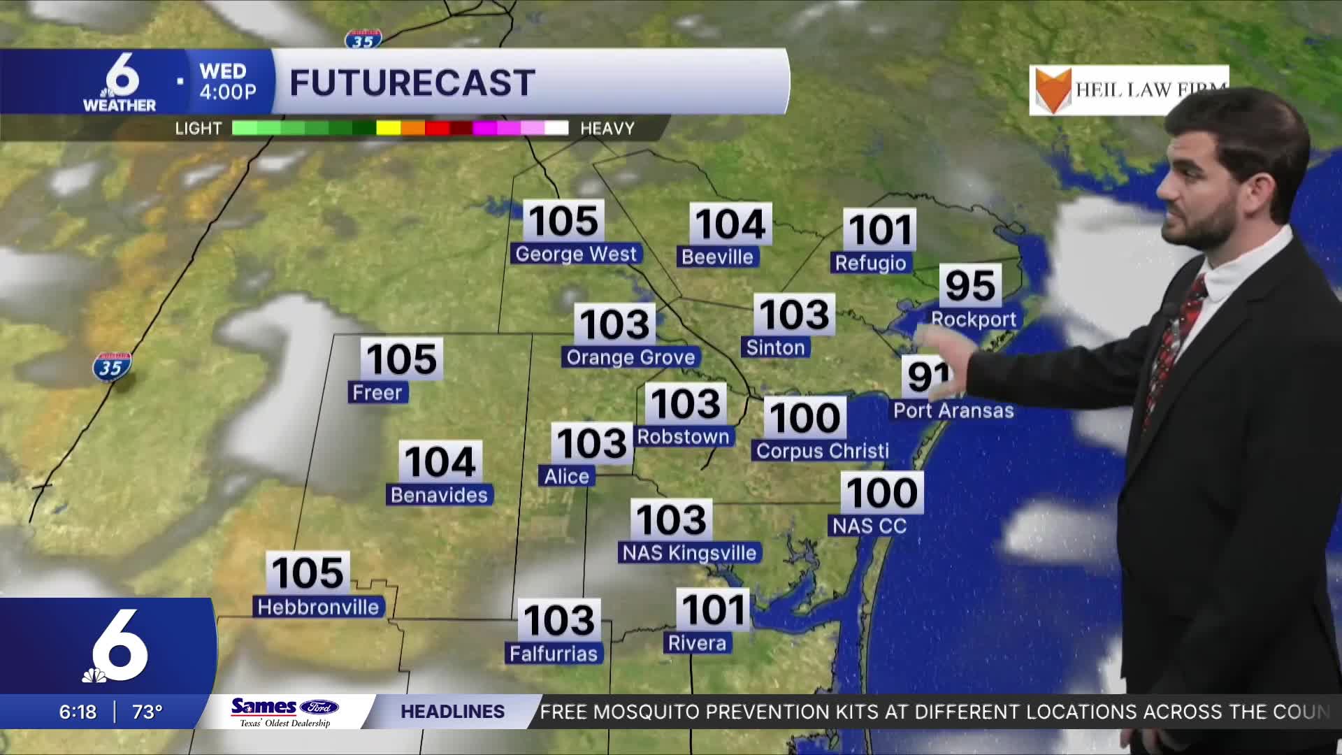


CORPUS CHRISTI, Tx — Good morning and Happy Tuesday Coastal Bend!
WHAT YOU NEED TO KNOW
- Partly cloudy today with highs into the upper 90s and lower 100s
- Heat sticks around into Thursday
- Tropical Storm Bertha in the gulf moving west
- Minimal impacts for the Coastal Bend, choppy surf to end the week and light rain chances Thursday
Hump Day Heat
With high pressure building in overhead we'll see more triple digits across the region today with even Corpus Christi forecast to join the century club. Inland towards Live Oak and Duval counties we could be as warm as ~105F with heat index values coming in even warmer than that. That's why we have a heat advisory in place from 12pm-8pm so make sure to remember those heat safety practices! It's a good reminder anyways since in terms of climatology the hottest time of the year is typically early August in the Coastal Bend.
Tropical Storm Bertha and Rain Chances
We officially have our second named storm of the year which is Tropical Storm Bertha out in the gulf. It's slowly moving westward around 5mph and should approach the Texas coast Thursday and into Friday morning. Currently most of the convection is on the southern end of the storm with a lot of dry air mixing into it. By the end of the week the wind shear and unfavorable conditions it faces has the system mostly drying out but we could see a few showers tomorrow with the extended axis of convection (rain showers and storms spreading further from the center of the storm) as the storm breaks apart, but either way we will likely see some choppy bays out there to end the week for boaters to keep aware of!

I hope you have a great Wednesday and stay cool out there!
