

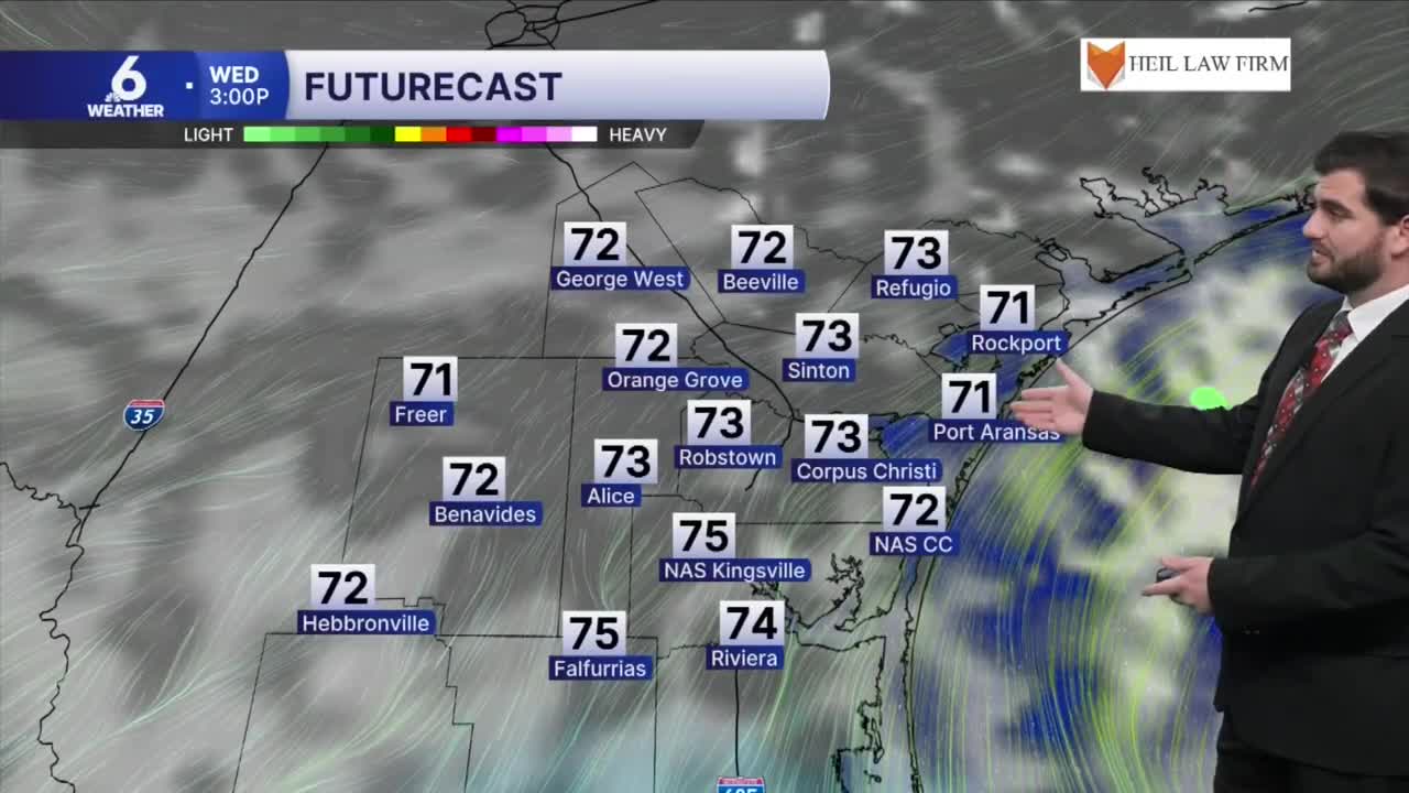


CORPUS CHRISTI, Tx — Good morning and Happy Wednesday!
WHAT YOU NEED TO KNOW
- Partly Cloudy skies with highs in the low to mid 70s today
- Coastal Flood Advisory in effect through midnight Thursday
- Rain Chances return Sunday through Tuesday
- Cold front expected on Sunday cooling us off next week
Warming daytime highs and low rain chances for this week
Today we'll see highs on the climb under partly cloudy skies getting to the low and mid 70s for most of us. This trend is likely to continue through the next few days topping out around 80° for Saturday and Sunday before our next cold front approaches the Coastal Bend. With high pressure overhead we're also looking at a lack of rain through the next few days other than the occasional sea breeze shower, but even they won't amount to much or last very long.

Cold Fronts and Rain Chances
By Sunday we'll see our next cold front approaching South Texas bringing a rain chance for Sunday and cooler temperatures to kick off the week of Thanksgiving. For now it's sitting around 20-30% isolated coverage for showers. By Tuesday we're watching a secondary cold front that could push through and if the long range guidance verifies then we'll be looking at even cooler highs heading into Thanksgiving itself. It would also bring a stronger rain chance with it as it passed by with 40-60% coverage, but both of these systems are likely to get fine tuned over the next few days for rain chances and temperatures so make sure to check back in for updates!

I hope you have a great Wednesday Coastal Bend!
