



CORPUS CHRISTI, Texas — Happy Tuesday!
WHAT YOU NEED TO KNOW
- Breezy conditions
- Major heat risk for most
- Edouard weakening
HEATWAVE CONTINUES
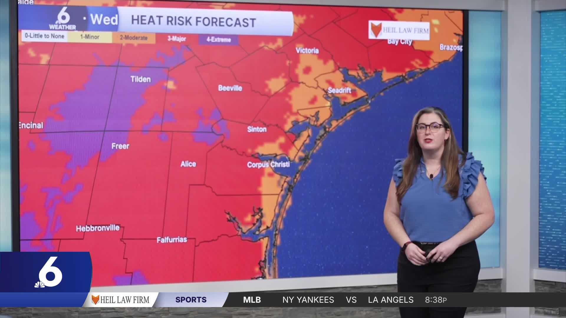
Wednesday bring major heat risk to most neighborhoods across the Coastal Bend— or about a quarter-million people in our area! Above-average temperatures will continue with actual air temperatures near 100ºF and 'feels like' tems in the upper 100s by afternoon. Major heat risk means anyone without adequate cooling and hydration is vulnerable to heat-related illness— in other words, not just kids, pets, and the elderly. Remember to practice heat safety! The hot, breezy, and muggy conditions remain in our forecast all week. While rain chances are limited, the second week of September looks to bring a wetter weather pattern to Texas. I'll keep you posted when rain chances improve!
In The Tropics
Tropical Storm Edouard made landfall 5 miles south of Port Arthur, Texas.
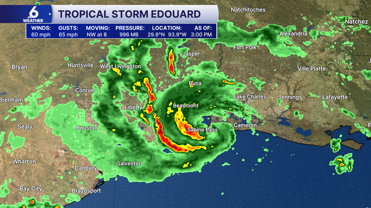
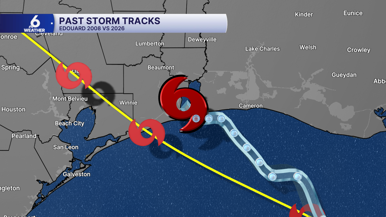
Ironically, a storm by the same name in 2008 made landfall in the the same Texas county! Edouard (2008) and Edouard (2026) share many similarities! This current storm will continue to bring heavy rainfall to East Texas as it continues to weaken.

Otherwise, all is quiet across the Atlantic Basin for now!
Have a great evening!
