



CORPUS CHRISTI, Tx — Good morning and Happy Wednesday Coastal Bend!
WHAT YOU NEED TO KNOW
- Partly Cloudy skies and afternoon highs in the mid to upper 90s
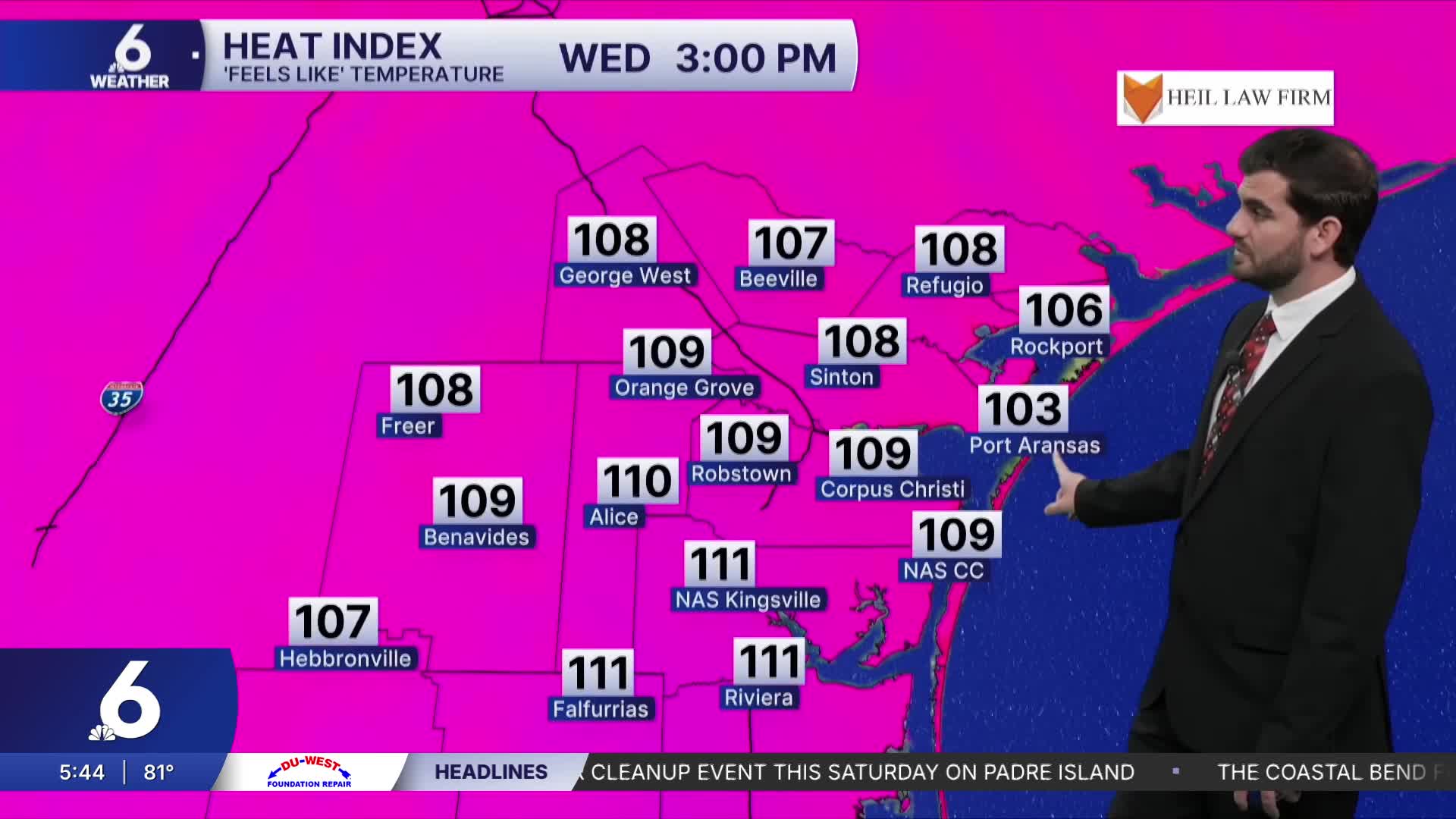
- "Feels Like" temperatures into the triple digits
- Flood Warning along the Nueces River in Live Oak County
- Lake Levels are on the rise with combined capacity at 38.6%
Wednesday's Weather and Looking towards the Weekend
Going into today it's going to absolutely feel like summer time in south Texas. We'll be hot and breezy, with daytime highs climbing into the mid and upper 90s and approaching the triple digits for some western neighborhoods. We'll also see a decent breeze this afternoon with winds from the south-southeast gusting up to 25-30mph at times. This pattern looks pretty similar for the next few days with high pressure mainly dominating the forecast right now. So going into the weekend, for now we're expecting plenty of sunshine and heat to go around! Of course if there are any changes to the forecast we'll make sure to keep you updated.
Lake Levels and River Flooding
In Live Oak county we're still seeing an incredible amount of water moving along the Nueces river with the Tilden and Three Rivers gauges still in the moderate flooding stage, but expected to both fall into the minor flooding stage tomorrow. For Lake Corpus Christi, we have seen an increase from 32.7% one week ago to 74.3% capacity so far this Wednesday morning with more still flowing in. This has brought our combined reservoir storage to 38.6% and should also see some more slight increases as the water continues to flow into Lake Corpus Christi over the coming days.

I hope you have a great Wednesday Coastal Bend!
