

CORPUS CHRISTI, Tx — Good morning and Happy Wednesday Coastal Bend!
WHAT YOU NEED TO KNOW
- Drier with more sunshine today (even though humidity is still high)
- Warming daytime highs into the lower 90s
- Few Showers possible Saturday morning, but otherwise a nice and dry (and warm) weekend!
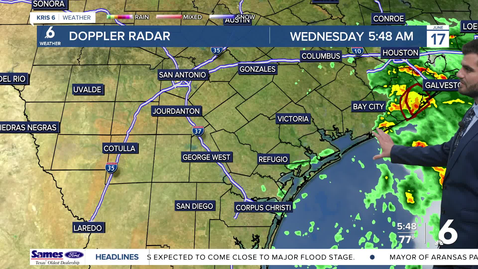
Yesterday's Rain and Today's Leftover Flooding
Over the past two days we have received between 3-7" of rain across the Coastal Bend with some of the highest totals reported from the south side of Corpus Christi. We still have the Flood Warning in effect along the Oso Creek through Friday morning as a result of the rains draining through it so make sure to still stay aware of any high water over roadways and possible road closures! Luckily we're now on the other side of Potential Tropical Cyclone 1 meaning the rain is over and we're on the drying trend as we head into the weekend.
Drier and Warmer through the Weekend
Starting today and heading through the rest of the week into the weekend we're seeing a ridge of high pressure build back in overhead. This is going to suppress rain chances and lead to more sunshine coming out in the afternoons, which will in turn lead to warmer daytime high temperatures. For now I'm calling the lower 90s here in Corpus Christi, but when you take into account our dew points still being in the 70s we're "feeling" closer to the lower 100s out there this afternoon! This is also true heading into the next few days, so after all the flooding safety earlier this week we're transitioning back to heat safety as we head deeper into Meteorological Summer!

I hope you have a great Wednesday and stay cool out there!
