



CORPUS CHRISTI, Tx — Good morning and Happy Tuesday!
WHAT YOU NEED TO KNOW
- Sunny skies today with highs in the upper 60s and lower 70s
- Coastal Flood Advisory through Wednesday morning at 9AM
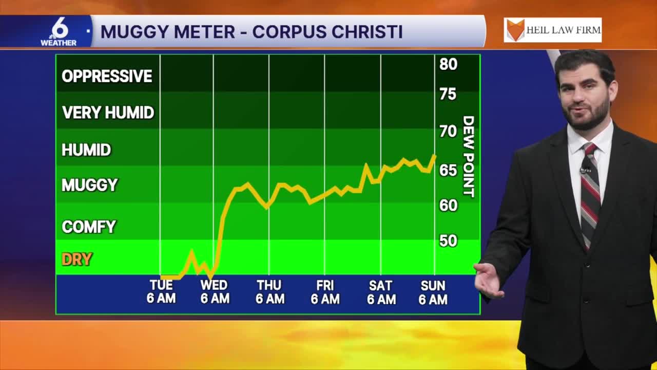
- Moisture begins to return tomorrow with dew points in the 60s to end the week
- Rain chances return Saturday night through Tuesday of next week
Cold start to the third week of November
In the wake of the weekend's cold front we are feeling the cool down in South Texas with highs only expected to climb into the upper 60s and lower 70s this afternoon. This will stick around for tomorrow morning where we bottom out in the 40s and 50s once again, but through the rest of the work week we'll see lows and highs both on the climb thanks to increasing humidity in the atmosphere.

How rain chances are shaping up through the week ahead
For now rain chances remain at the bottom of the board for the start of the work week with high pressure pushing into the Lone Star State. I don't think you'll be needing to take the umbrella along for at least a few days. By the end of the week we could see a few sea breeze showers taking shape once again but they won't amount to much. This weekend we could finally see enough moisture in the Coastal Bend, along with some upper level energy that could bring a few more showers to the table from Saturday night through next Tuesday. However it's not looking super widespread right now with around ~30-40% coverage and with so much time to go the forecast is likely to shift one way or another, so stay tuned for updates!

I hope you have a great Tuesday Coastal Bend!
