



CORPUS CHRISTI, Tx — Good morning and Happy Tuesday Coastal Bend!
WHAT YOU NEED TO KNOW
- Partly Cloudy skies with highs in the mid 90s today and tomorrow
- Breezy afternoon with peak gusts around 25-30mph
- Coastal Flood Advisory through 1AM Wednesday
- Cold Front passage on Friday leads to a cooler weekend
Toasty Tuesday Temperatures for the next few days
Today we'll see plenty of sun under partly cloudy skies heating us up into the mid 90s for daytime highs across most neighborhoods. Dew points are also in the mid to upper 70s right now which will make it "feel like" the triple digits as we're heading into the afternoon. Luckily there will be a bit of a breeze with peaks gusts nearing 25-30mph from the south-southeast, and the small chance for a stray shower with ~10% coverage later today. This pattern looks to stick around tomorrow also, before some drier air funnels in by Thursday keeping the heat index a little cooler.

Cold Front Passage Friday for Fall-like weekend
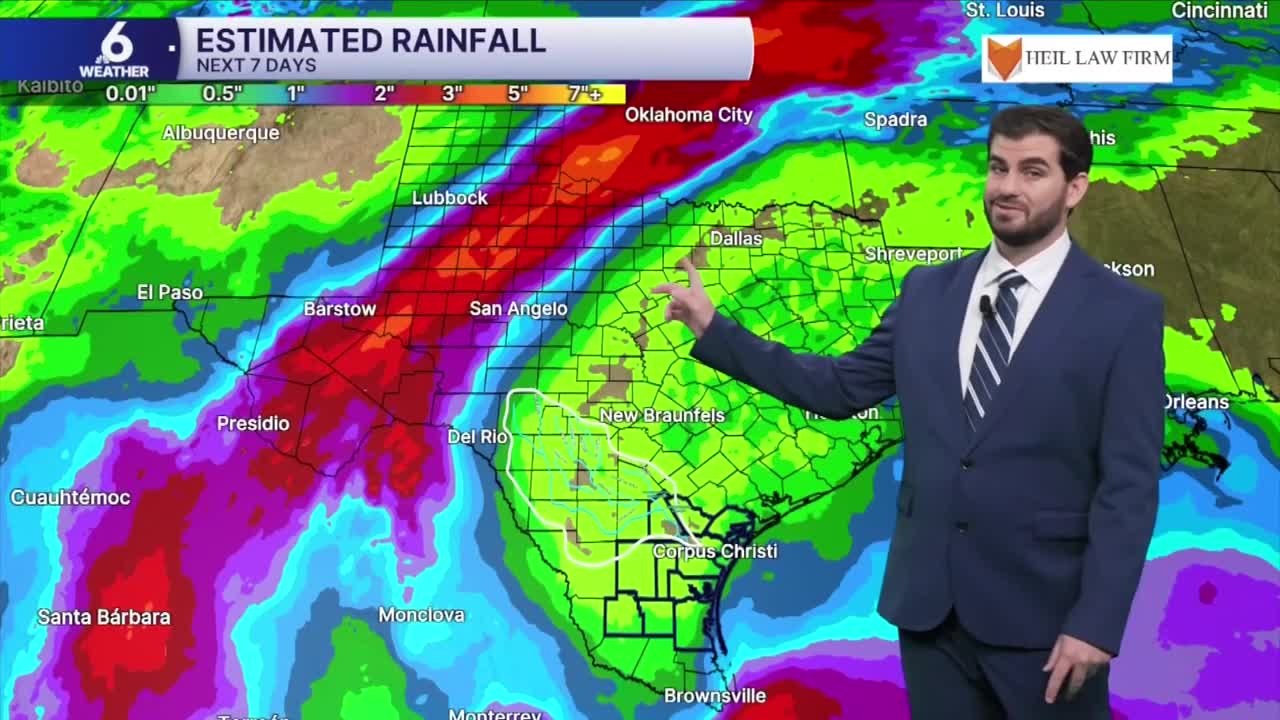
Going into Friday we'll see our next cold front working through the Lone Star State. There's still some model disagreement on the time of day it gets here, but either way it's not looking like a major rain-maker for most of south Texas. The bigger change will be in the temperatures and dew points as the winds shift back out of the north and get pretty windy for Friday and Saturday in the wake of its passage! By Saturday to Sunday we're looking at highs coming in around the lower 80s with overnight lows around the mid 60s, but with a few days still to go there's likely some refining still needed for exactly how cool we might get! Either way this is looking like our first taste of Fall before we start to heat back up and increase moisture again for the start of next week.

I hope you have a great Tuesday out there and stay cool!
