



CORPUS CHRISTI, Tx — Good morning and Happy Thursday Coastal Bend!
WHAT YOU NEED TO KNOW
- Mostly Sunny skies with highs in the upper 90s - lower 100s
- Heat Index closer to 105-110F from 2-4PM
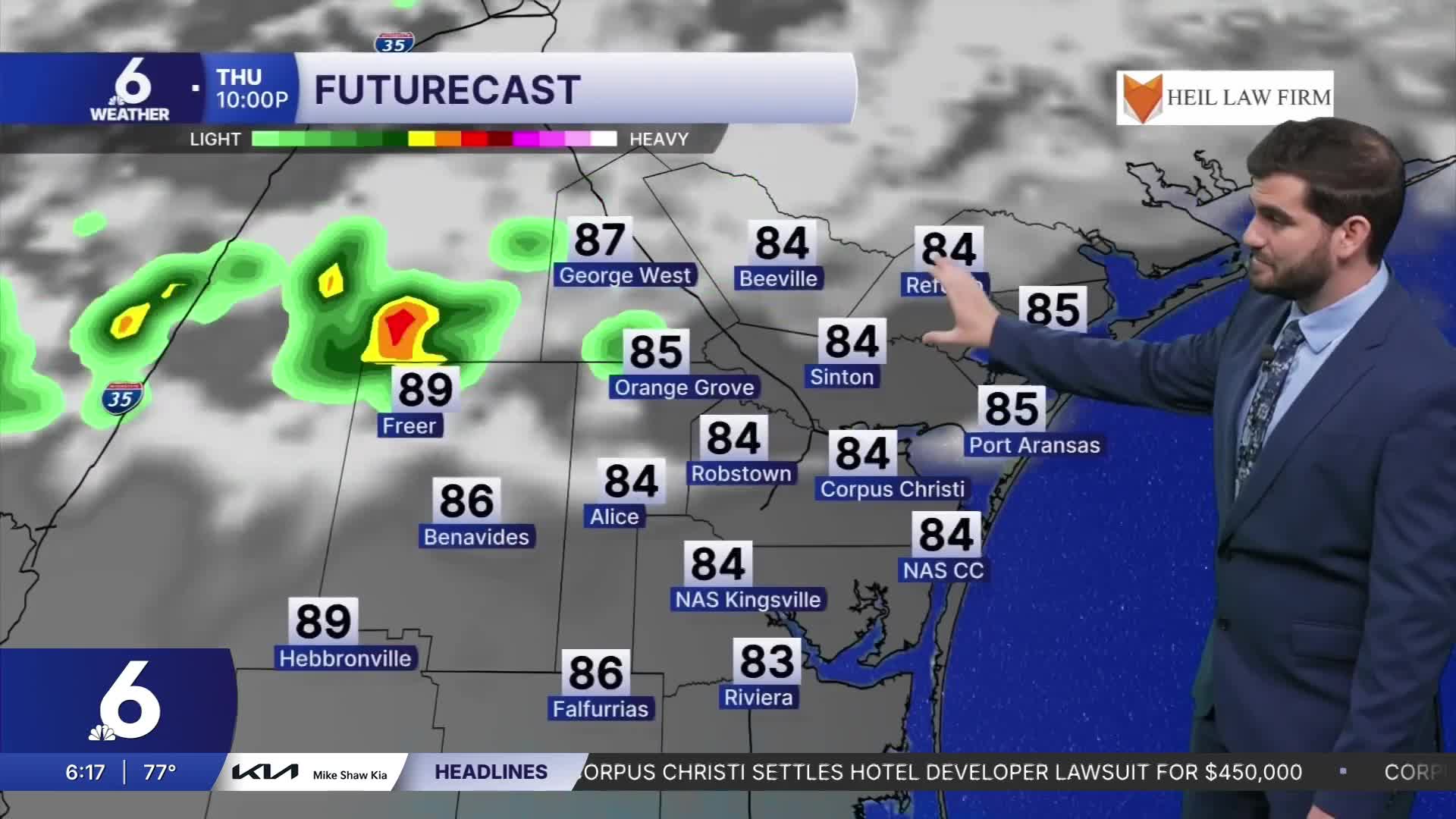
- Showers to the north could sneak into northern counties such as Bee, Refugio, and Live Oak this evening
- Most of us stay dry, with another small chance for inland spots on Friday
Sunny Skies for a Thursday Afternoon
Today we'll still be dealing with mostly sunny skies as temperatures climb into the upper 90s and lower triple digits for daytime highs. Of course when accounting for humidity we'll be seeing the heat index a.k.a. "feels like" temperatures push closer to the 105-110F mark in the heat of the afternoon. By the time we're heading into 3-5PM we'll have our eyes to the north towards the I-10 corridor for some showers that could sneak their way into northern neighborhoods.
Rain Chances Going Into the Weekend
We have a stalled frontal boundary in the Lone Star State that's producing some showers and storms into central and eastern Texas. This activity looks to push southward through the daytime hours and could be knocking on our doorstep by dinner time into the evening. As they do though, they're expected to lose strength and eventually fizzle out so the big question will be, how far do they make it? For now models are thinking we could see a few showers make it as far as a George West to Refugio line before fully drying out. Tomorrow the sea breeze could fire off a few more showers starting near highway 77 and pushing further west as they dry out. Keep in mind these are only expected to be around 10-20% coverage so almost all of us will be staying dry, but a few of us could run into a quick shower or even rain delay for the Friday night lights!

I hope you have a great Thursday Coastal Bend!
