



CORPUS CHRISTI, Tx — Good morning and Happy Thursday Coastal Bend!
WHAT YOU NEED TO KNOW
- Partly cloudy this morning and early afternoon with highs into the upper 90s and lower 100s inland
- Heat advisory for the northern half of the area from 1-7PM
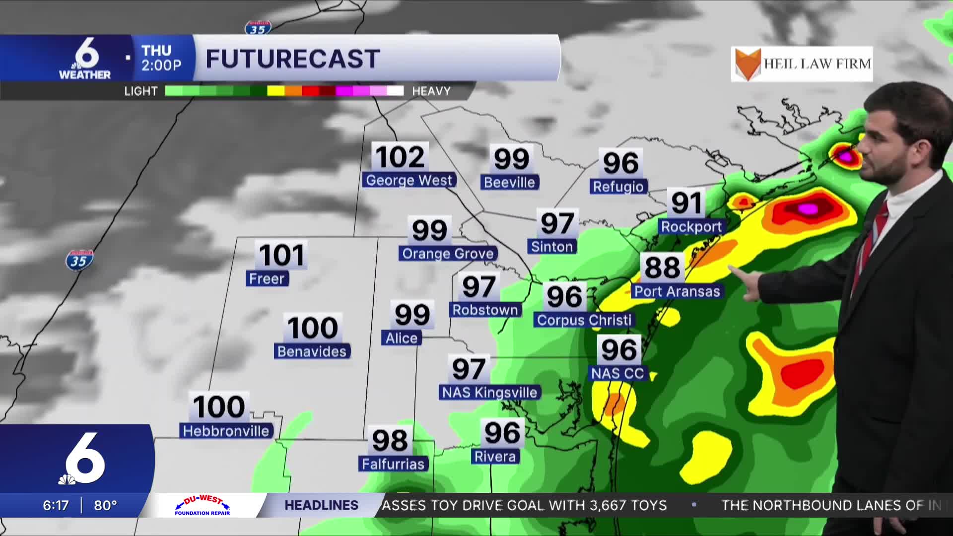
- Showers and Storms possible later afternoon and evening
- This is thanks to additional moisture from TS Bertha in the gulf waters
Toasty Thursday Afternoon
With high pressure still overhead to the west we'll see daytime highs climb into the upper 90s and lower 100s around the area again today. Winds will be from the west around 10mph before shifting from the north this afternoon as Tropical Storm Bertha gets closer to the Texas coast. You can expect more heat into the weekend, but overall it should be a decent ~3-5F cooler than what we'll see today.
Tropical Storm Bertha and Rain Chances
We officially have our second named storm of the year which is Tropical Storm Bertha out in the gulf. It's slowly moving westward and should approach the Texas coast today and into Friday morning. Currently most of the convection is on the southern end of the storm and is expected to remain there as it moves westward. This is important since the track is for the northern half of the area(still subject to change) which would bring a lot of rain into central portions of the Coastal Bend potentially. With how easily influenced this system is though we could see the highest rain totals shift pretty easily so make sure to stay weather aware in case of any flooding concerns or if you find yourself in a downpour out there!

I hope you have a great Thursday and stay cool out there!
