



CORPUS CHRISTI, Tx — Good morning and Happy Thursday!
WHAT YOU NEED TO KNOW
- Patchy AM Fog Wednesday morning
- Cloudy skies throughout the day, with highs in the lower 70s
- Cold front tomorrow clears out cloud cover later in the day and for Friday
- Isolated to scattered showers return this weekend
Sunshine returns for the end of the work week
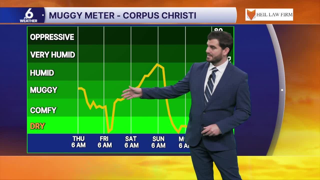
Today we're seeing a first of two fronts for the Coastal Bend. This first cold front won't be a major cool down, but it will bring drier air and sunshine back to the skies for today and tomorrow to close out the work week. Today we'll see highs round out in the middle to upper 70s, followed by the upper 70s and lower 80s for Friday afternoon. Winds will remain from the north coming in sustained around 10-15mph with gusts pushing near 20mph at times. Either way the drier air will be a welcomed relief bringing dew points from the 60s down into the 50s for Friday!

Rain chances this weekend and potentially a stronger cold front next week
For Saturday and Sunday we'll see moisture return to our atmosphere along with some upper level energy shifting into South Texas. This combination could lead to some more scattered showers and even the potential for a few thunderstorms for the weekend. Luckily it doesn't look as widespread as what we had on Sunday-Monday, so I wouldn't cancel all of your outdoor plans since we'll get a better idea on the timing of any rain through the next couple of days! Then we're watching as another cold front eyes South Texas by Monday of next week which should help to dry us out and keep us cool! Some long range guidance even puts us in the upper 60s for daytime highs early next week, but there's still a lot of uncertainty at that point in the forecast so stay tuned for updates!

I hope you have a great Thursday out there Coastal Bend!
