



CORPUS CHRISTI, Texas — Happy Monday!
WHAT YOU NEED TO KNOW
- Major to extreme heat risk
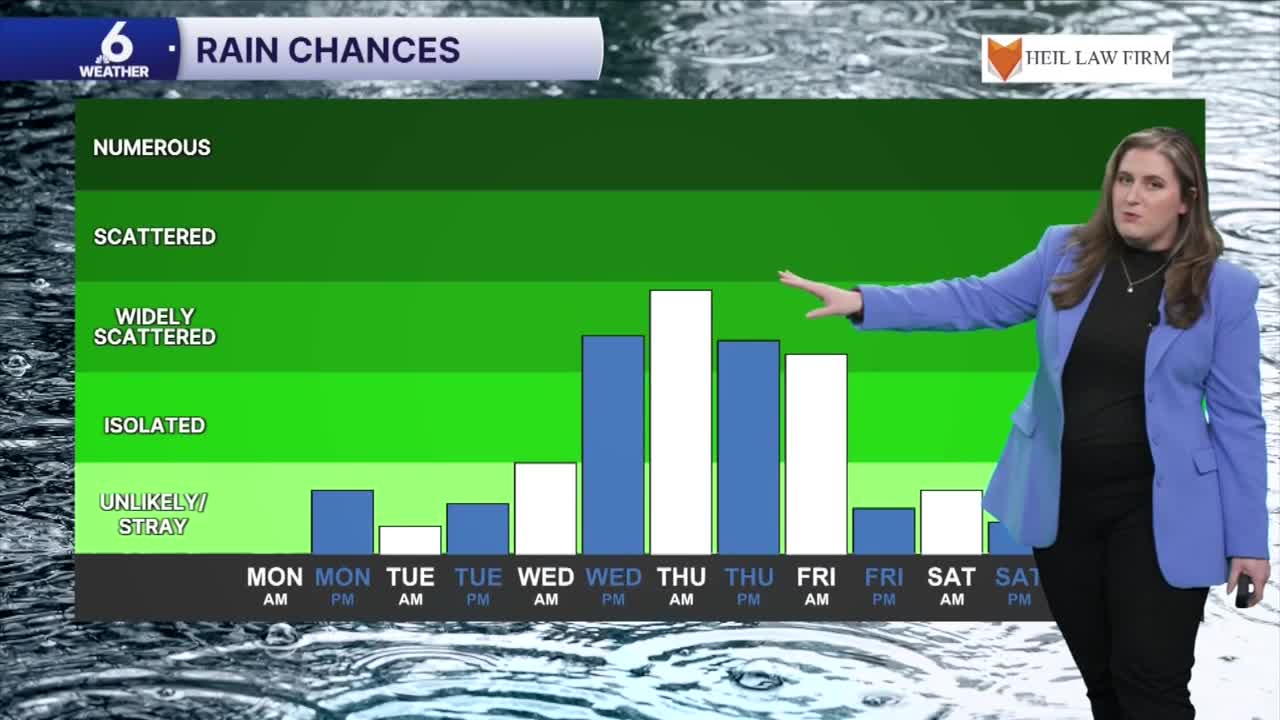
- Rain chances rise by midweek
- Temps remain unusually hot
Hot week ahead
Heat continues across the Coastal Bend. Above-average temperatures will continue for the foreseeable future. Please practice heat safety! Expect afternoon high temps to top out near 100ºF, with 'feels like' temps in the lower 110s! Major to extreme heat risk means it's not just the kids, pets, and elderly who are at risk for heat-related illness. Anyone without adequate hydration or air conditioning will be vulnerable to heat sickness. You'll need to take breaks, stay hydrated, and look before you lock. Even with rain chances on the rise, heat will only approve slightly. Our temperatures will remain hotter than usual for this time of the year well into next week.
Rainfall returns to the forecast
Rainfall will return by midweek. High Pressure on the east coast will usher moisture westward across the Gulf to the Texas coast. This will enhance showers and storms that develop. While scattered showers are expected along the afternoon sea breeze late-week, the forecast looks to be wettest Wednesday night to Thursday night. Neighborhoods west of HWY 77 won't see the highest rain totals, but we're still expecting shower to reach the watershed and inland reaches of South Texas.
Drought
No measurable rainfall has been observed at Corpus Christi International Airport since late July. This has put us in a deficit of more than three inches and our drought has worsened as a result. This week's rain is much-needed and there's more expected next week. Don't expect much improvement with the drought monitor for now.
In The Tropics
As the Pacific Basin remains active, it has been unusually quiet across the Atlantic Basin. We're watching one area of interest in the Atlantic, but there is no risk to the Coastal Bend.

