

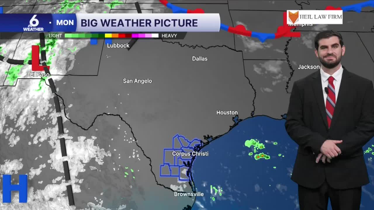


CORPUS CHRISTI, Tx — Good morning and Happy Monday Coastal Bend!
WHAT YOU NEED TO KNOW
- Partly cloudy skies with highs in the upper 90s and triple digits
- Winds from the southeast around 15-25mph, gusting to 30mph this evening
- Heat Advisory in effect from 12-7PM for nearly the entire area
- Watching rain chances by Thursday into Friday
Hot and Humid to start the week
For our Monday forecast we're looking at plenty of heat to go around with daytime highs climbing into the upper 90s and lower 100s this afternoon. When you account for the dew points in the upper 70s it will be feeling more like 110-115F later today, with a heat advisory in effect from Noon through 7PM for the entire area with the exception of Jim Hogg and Brooks counties. For the next few days we'll be on a rinse and repeat pattern so make sure to stay cool and hydrated if you'll be outdoors for extended periods of time!

Tracking our Next Rain Chances
By the time we're heading into Wednesday night and Thursday morning we'll be watching for additional gulf moisture to flow into the south Texas area. This will help promote more rain chances for the area and maybe even have heavy downpours embedded within it! Currently it's looking like our best opportunity for more "widespread" rain in months now which is needed with the recent addition of "extreme drought" on our latest drought monitor update. There is a lot still to narrow down with this system such as timing and the corridor of highest rainfall totals, but for now it's looking like we could pick up a decent ~0.5-1.0" across the area with the highest totals likely coming in from eastern portions of the Coastal Bend.

I hope you have a great Monday and start to the week Coastal Bend!
