



CORPUS CHRISTI, Texas — Hope you're having a great weekend, Coastal Bend!
WHAT YOU NEED TO KNOW
- Highs in the mid 90s
- Hardly any sea-breeze showers Sunday, a few more on Monday
- Moderate to major heat risk in the forecast
- Tracking a 'cool front' later this week
Steamy September weekend
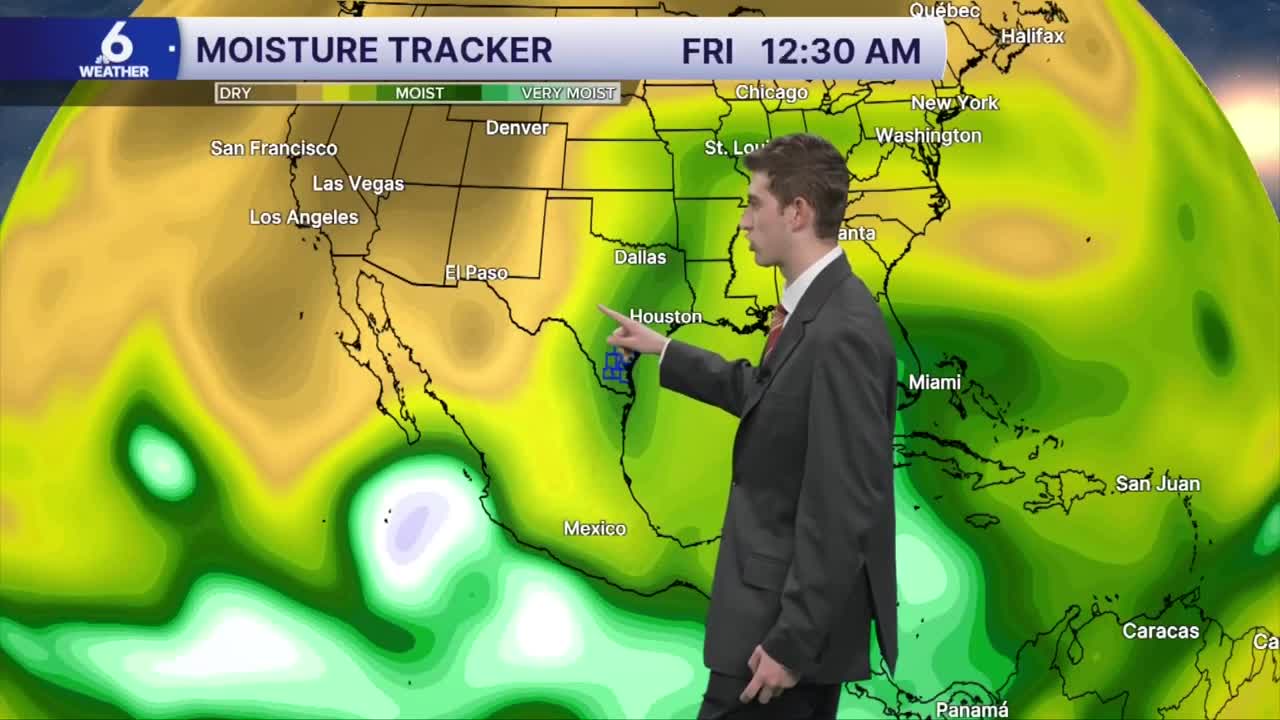
Hot and muggy conditions remain locked in our weather pattern this weekend. Temperatures will persist in the middle 90s near the coast, with upper 90s anticipated for our Coastal Plains neighborhoods. We're still at least 5 degrees above the average for this time of year, and the humidity sure isn't helping to make it actually feel like fall out there. Less oppressive humidity is reducing our rain chances while bringing down the 'feels-like' temperatures to the low 100s.
Lacking rainfall to start the week, but a notable pattern shift later
With less "fuel" for sea-breeze storms to give us a 'sip' or 'drink' of rain, little to no rain is expected on Sunday, but the sea-breeze could spark a few more brief showers on Monday. The limited sea-breeze showers likely won't help us catch up on our rainfall deficit for the month. Later this week, a cold front will approach the Lone Star state, but the models are pushing back on the timing of this front. The latest forecast picks up on increasing rain chances later on Wednesday into Thursday and into next weekend. It's too early to say with 100% confidence that this front will be able to maintain itself and reach us here in the Coastal Bend. If anything, this front serves as a lifting mechanism to help more scattered showers and thunderstorms to develop. With this front, a 'cooldown' is still possible with highs in the upper 80s, which is closer to the normal daytime high temp for this part of the month, but we certainly won't be feeling 'cold' here. How much rain we will get out of this event is also still up in the air, it depends on the placement of the front and the speed of its forward motion. We will keep you posted as the forecast improves in the days to come.
Tracking the Tropics
Fay and Gonzalo have weakened from tropical storm status and remnant areas of low pressure in the tropics. We're watching a new banana-shaped area of interest in the tropics with low chances of tropical development. Regardless of development, no impacts are expected in the US.
Enjoy the rest of your weekend.
