

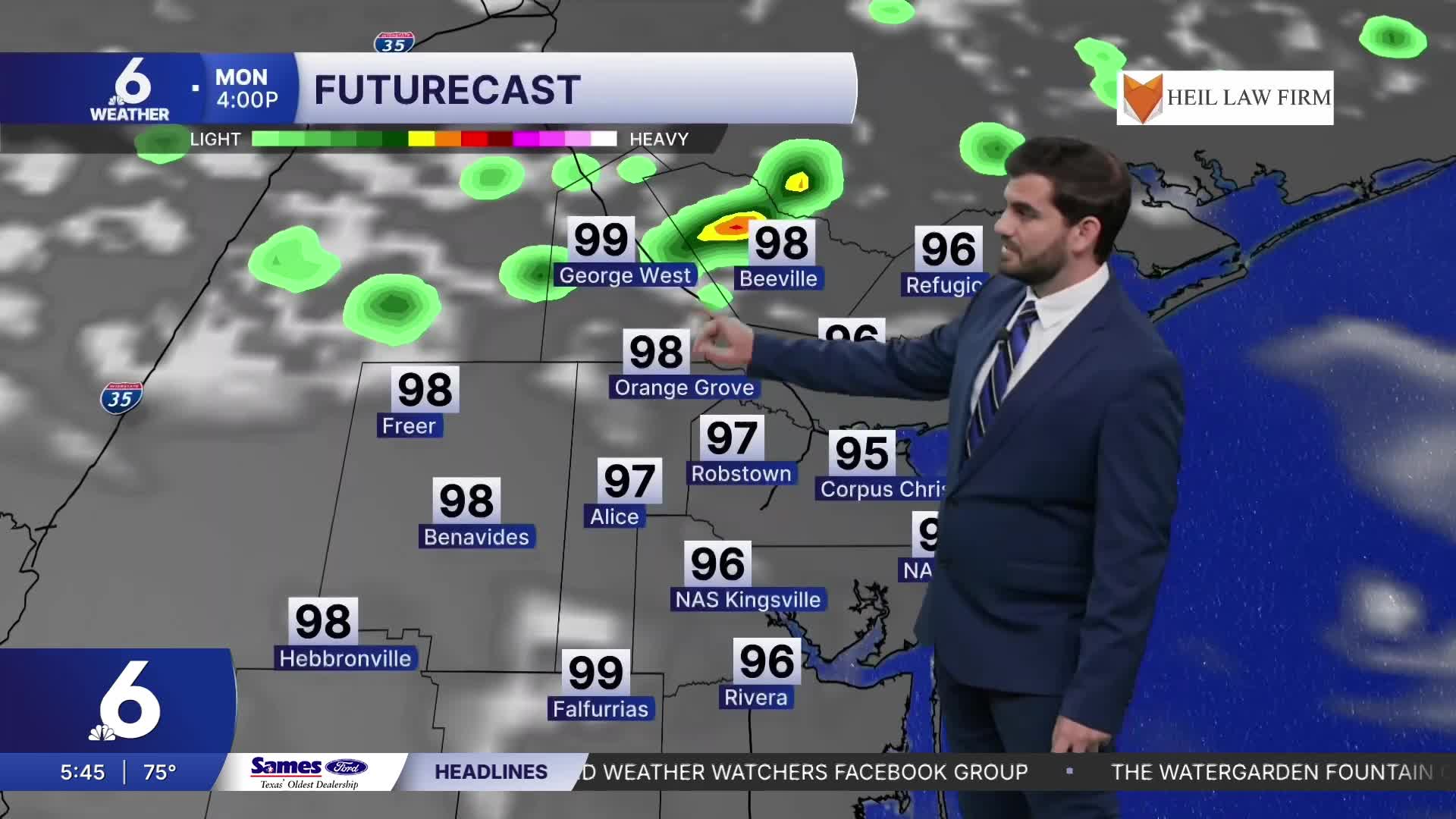


CORPUS CHRISTI, Tx — Good morning and Happy Monday Coastal Bend!
WHAT YOU NEED TO KNOW
- Mostly Sunny skies and highs in the mid to upper 90s today, even a few triple digits
- Summer time heat sticks around this week
- Possible isolated shower or two along the sea breeze for inland neighborhoods
- Flood Warning continues along the Nueces River in Live Oak County
Sunny and Warm for August's first week
For today we're expecting plenty of sunshine and temperatures on the climb into the mid 90s for most of our daytime highs with feels like temperatures chasing the triple digits. With that in mind make sure to remember to hydrate and take breaks from being outdoors in the heat this week! The next few days will be pretty similar with plenty of humidity and heat to go around meaning a heat risk in the moderate to major category. A fun fact for today, is that we're on the 56th anniversary of Hurricane Celia's landfall in the Coastal Bend! It was a massive category 4 storm that brought over $3 Billion in damages and affected countless lives.
River Flooding and Lake Levels
Along the Nueces river near Three Rivers we're still sitting in the major flood stage with the level slowly dropping over the next few days. By tomorrow luckily we should be heading back into the moderate flood stage. As far as the lakes go, we've seen a rapid increase in Lake Corpus Christi over the weekend going from 31.9% a week ago to 55.8% for Monday morning. This puts our combined reservoir capacity at 33.5% from all of the water that has flowed into both Choke Canyon and Lake Corpus Christi, and we'll update you with any further developments too since more water is still flowing in!

I hope you have a great Monday Coastal Bend!
