



CORPUS CHRISTI, Texas — Happy Wednesday, Coastal Bend!
WHAT YOU NEED TO KNOW
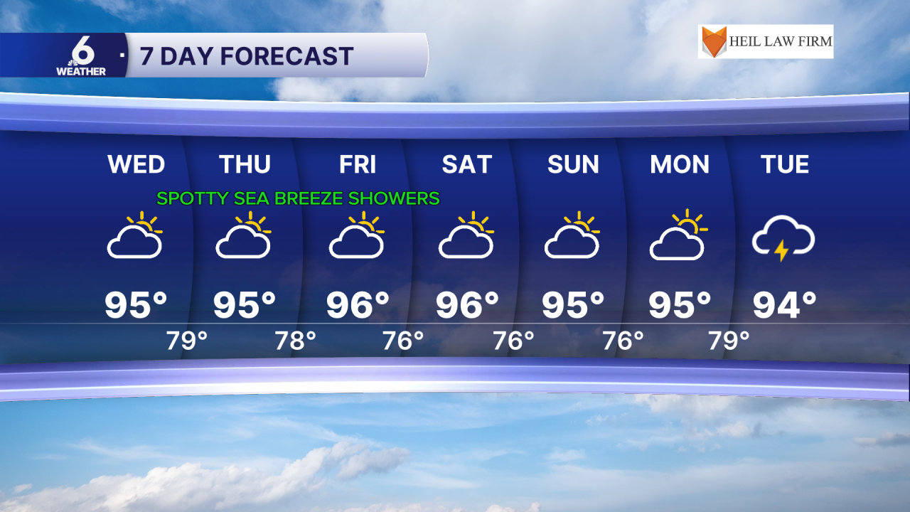
- Highs in the mid to upper 90s, staying above average
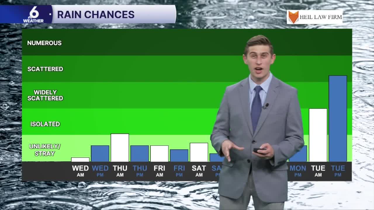
- A few stray showers and thunderstorms possible, mostly after 12pm
- Watching an approaching cold front next week
Hump day forecast
Today is technically the first "full" day of fall, as the autumnal equinox began last night around 7:05 pm. It won't necessarily be feeling like fall out there today, as daytime high temperatures continue to remain above average for the month of September. The humidity will only make conditions feel more like summer, with heat index values reaching the middle 100s across our neighborhoods throughout the afternoon on Wednesday. A ridge of high pressure resides overhead, limiting widespread rain chances through the rest of this week and into the weekend. While rain can't completely be ruled out, it will essentially be the familiar sea-breeze pattern that we've experienced the past few months. Most of the rain from the sea-breeze showers will likely develop over the Coastal Plains communities, with the best coverage of showers occurring today and Thursday (30-50% coverage). These showers won't be very long-lived, but any rain accumulated will be helpful, despite not being drought busting.
A taste of fall on the way
Forecast models are picking up on a dip in the jet stream, or a troughing pattern setting up in the upper levels of the atmosphere next week. A cold front is expected to approach the Lone Star state next Tuesday, but how far South this boundary will actually reach is still somewhat uncertain. What we do know is that this front could provide some more scattered showers and storms, and a slight "cooldown" in daily high temps. Exact timing of the arrival/movement of this front is also still subject to change. We will continue to watch this over the next few days.
I hope you have a great rest of your day!
