

CORPUS CHRISTI, Tx — Good morning and Happy Thursday Coastal Bend!
WHAT YOU NEED TO KNOW
- Cold front keeps us cooler in the 70s today with cloudy skies and spotty showers
- Rain chances on the rise Friday night into Saturday morning with thunderstorms
- Warming up through Mother's Day on Sunday with the upper 80s and lower 90s expected for daytime highs
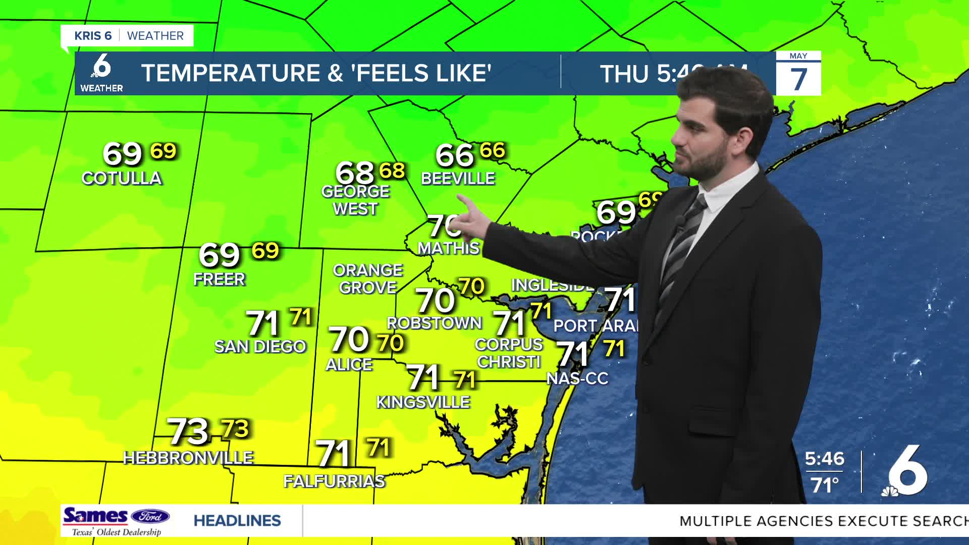
Cold Front and a Cloudy Thursday
The cold front is here and bringing gustier winds to the Coastal Bend with 15-20mph near the coast and 10-15mph inland from the Northeast. Today we'll see a good deck of cloud cover for most of the day with a few spotty showers mixed in here and there, but not much in terms of heavy downpours. Luckily the day comes in a little cooler in the upper 70s for daytime highs, but we will still feel a good amount of humidity in the air.
Friday to Saturday Rain Chances
As we head into Friday well see the front slide back north as a warm front with some upper level help moving in from the west. As this happens we'll see the ingredients come together for more showers and thunderstorms from Friday through Saturday morning. Currently the latest models have the most storms Friday evening and early in the AM hours of Saturday, something to keep in mind for weekend plans!
Warmer Weekend Ahead
As we head into Saturday afternoon and evening most of the system should slide off to the East and we'll see more sunshine coming out into Mother's Day on Sunday. The other side of this is that we'll be warming up pretty quickly also pushing the upper 80s and lower 90s for afternoon highs on Sunday! Monday morning looks to bring our next cold front, but warmer temperatures are making their way in as we get closer to Summer in June.

I hope you have a great Thursday and enjoy the cooler weather!
