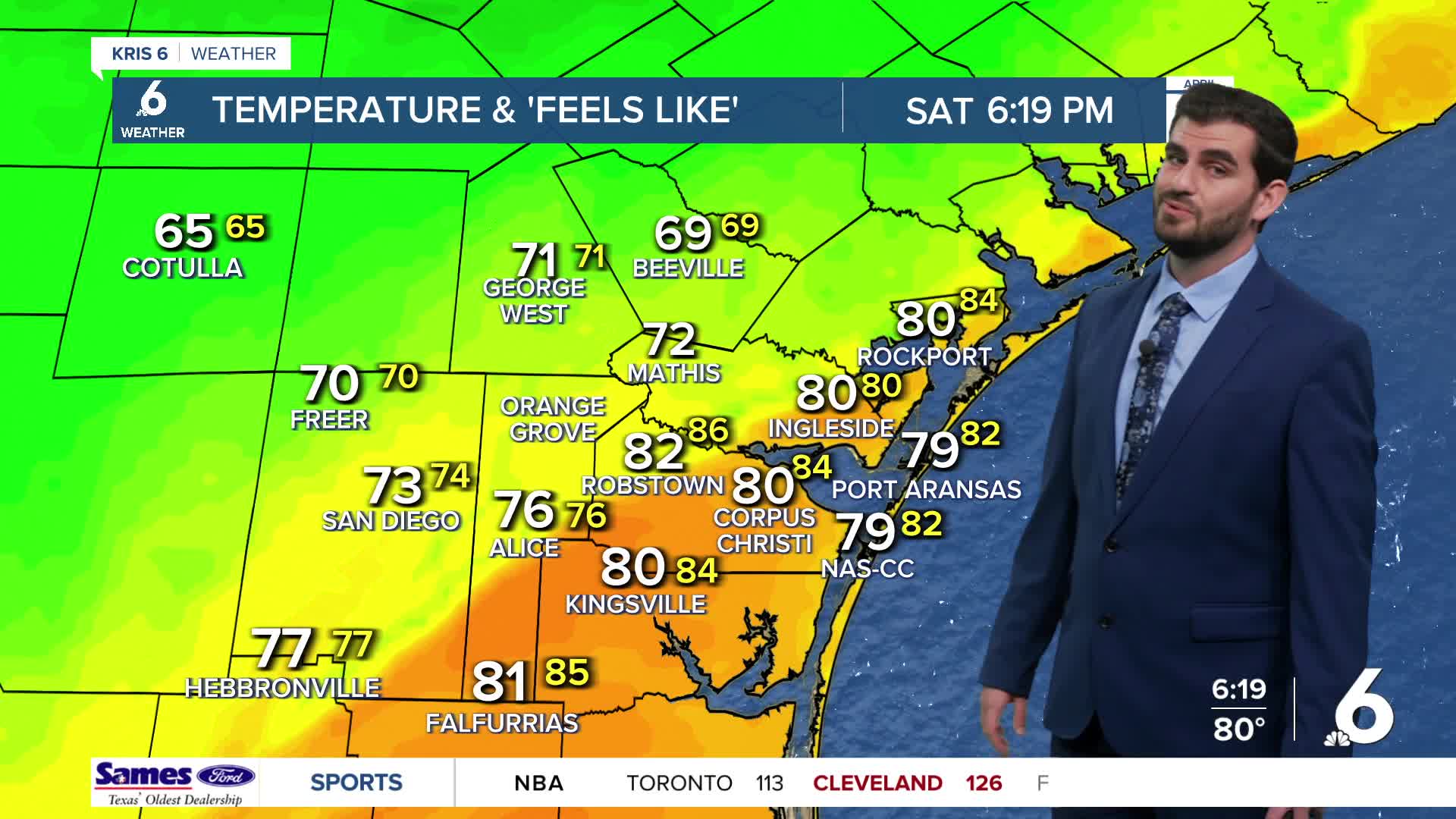


CORPUS CHRISTI, Tx — Hey there and Happy Saturday Coastal Bend!
WHAT YOU NEED TO KNOW
- Cold front Saturday night brings a strong north wind behind it with peak gusts around 30-35mph
- Showers and Storms pick up behind the cold front now through Tuesday
- Local Rainfall estimates have us around ~0.75-1.25" from now through Tuesday, and slightly less towards the watershed around ~0.5-1.0"
- Gale Watch in effect through 12am Sunday night from Port Aransas through Matagorda Bay
- Gale Warning in effect through 12am Sunday night for the same areas, but further than 20 nautical miles from shore
The cold front is currently pushing through the region as of Saturday evening and behind it we're already seeing a significant drop in temperatures and gusty winds upwards of 25-30mph from the north. There's a light line of showers along the front, but scattered showers (with a few storms possible) pick up behind the front even more as we head into Saturday night and Sunday for coverage across the area. Sunday looks to start us in the upper 50s for morning lows, with our afternoon highs only pushing the upper 60s and lower 70s for areas closer to the coast. Keep in mind though it will be quite windy for Sunday with peak gusts pushing 30-35mph at times, so the wind chills ("feels like" temperatures) will be closer to the mid 60s for that afternoon peak.
Going into Monday we'll hold on to the scattered showers and see the chance for a few rumbles of thunder throughout the day, so keep the umbrella and jacket handy! This activity starts to subside for the most part after we get through Tuesday afternoon, with the rest of the work week dry for us.
In terms of temperatures we'll start to see them rise once again pretty soon after the front, with overnight lows back to the upper 60s already by Tuesday morning. Daytime highs also follow this trend with Wednesday getting us back into the low and mid 80s across the region and staying that way for the duration of our current seven day forecast.
CORPUS CHRISTI FORECAST
Tonight: Mostly Cloudy with Scattered Showers and a few T-Storms
Temperature: 59F
Winds: NE 20-25 mph, G 25-35 mph
Tomorrow: Mostly Cloudy with Scattered Showers
Temperature: 70F
Winds: NE 20-25 mph, G 25-30 mph
Sunday Night: Mostly Cloudy with Scattered Showers
Temperature: 64F
Winds: NE 10-15 mph, G 15-25 mph
Monday: Mostly Cloudy with Scattered Showers and a few T-Storms
Temperature: 73F
Winds: NE 10-15 mph, G 15-25 mph

I hope you have a great Sunday and start to the new week!
