



CORPUS CHRISTI, Tx — Happy Weekend, Coastal Bend!
WHAT YOU NEED TO KNOW
- Warm and less humid weekend with highs in the low to mid 90s.
- Isaias to make landfall as a Hurricane late Friday in the NW Florida panhandle
- Little to no rain in the weekend forecast
- Shower activity picks up slightly next week, but not a washout
A hot and dry wrap to the weekend
We're expecting plenty of sunshine across the Coastal Bend through the weekend. Drier air moving into the region, combined with abundant sunshine, will help temperatures climb above average. Highs are expected to reach the low to mid 90s across the Coastal Bend this weekend. Fewer clouds overhead means we will have a wider spread between our daytime high and morning low. On Sunday, we'll be waking up to morning lows in the bottom 70s further inland. A stray sprinkle is possible, but don't count on seeing rain throughout the rest of the weekend. That changes Monday morning. Out with the drier air and in with more Gulf moisture which will help to kickstart a few morning showers that could impact the morning commute.
Beach forecast improving
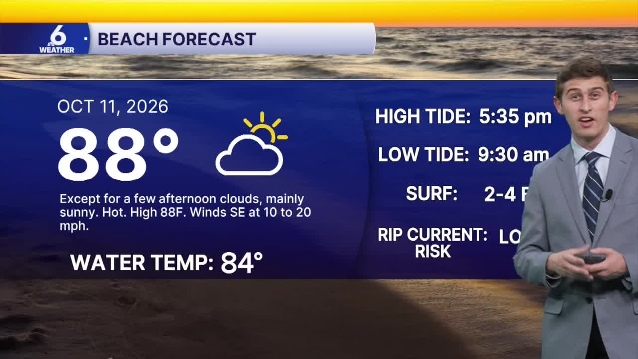
Besides the dry air, we're still feeling the 'ripple' effects of Isaias in the Gulf. Along our beaches, we've been seeing large waves near the coast and water pushing beyond the dunes at Whitecap Beach. A Coastal Flood Advisory remains in place through early Monday morning. These waters may lead to some minor coastal erosion along our beaches. Beach roadways could also be challenging to drive through as sand and water have overtaken some roads such as on Whitecap Beach. The good news is that the rip current risk will be dialing back substantially on Sunday, with a low risk for life-threatening rip currents. The rest of the beach weekend forecast is looking more promising, just make sure to check the flags before entering the water!
Big changes on the way
Models are hinting at another cold front working its way through Texas by the end of the work week. The exact timing of this frontal passage is still uncertain, and how much of a dropoff in our temperatures we could experience is still up in the air. Currently, I'm forecasting highs in the 80s for the end of the week. A few models are entertaining the idea of even cooler temps, but I'm not 'biting' onto that outcome just yet. I don't think this will be a big-time rain maker for the Coastal Bend, but I'll let you know if that changes.
Enjoy the weekend, Coastal Bend!
