



CORPUS CHRISTI, Tx — Good morning and Happy Monday Coastal Bend!
WHAT YOU NEED TO KNOW
- Mostly Sunny skies and highs in the mid 90s today
- Summer time heat sticks around on the seven day forecast
- Flood Warning along the Nueces River this week
Muggy Monday and a Warm Week Ahead
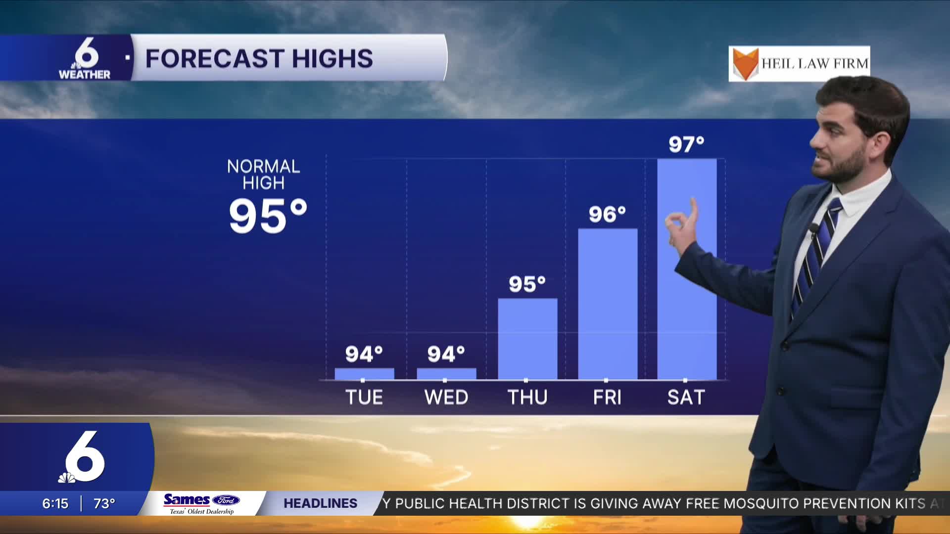
Today we are still dealing with overbearing high pressure overhead that's going to keep sunshine in the skies and temperatures slowly on the climb. By the end of the week I expect Corpus Christi to be above 95F and even potentially pushing the century mark this weekend, but things can change by then so for now we have the upper 90s. Either way our inland neighborhoods are already expecting more of the century marks today and going forward this week with feels like temperatures even warmer than that!
River Flooding and Lake levels
Up towards Live Oak County we have a flood warning in effect along the Nueces River until further notice. Near Cotulla it's expected to fall below major flood stage over the next 24-48 hours, near Tilden however it's expected to rise even more to a crest of ~23ft with it already up to almost 19ft Monday morning which is the major flood stage mark. Near Three Rivers it's up to ~6ft and is expected to climb rapidly by Tuesday to Thursday cresting around ~40ft with 35ft being the level for major flood stage. Please prepare accordingly with this expected rise in the water levels this week along the Nueces River in Live Oak County. We'll be watching to see what this means for Lake Corpus Christi going forward, Choke Canyon has already gotten a significant boost to 24.0% bringing the combined reservoir capacity to 26.2% as of Monday morning.

I hope you have a great Monday and start to the week Coastal Bend!
