



CORPUS CHRISTI, Tx — Good morning and Happy Monday Coastal Bend!
WHAT YOU NEED TO KNOW
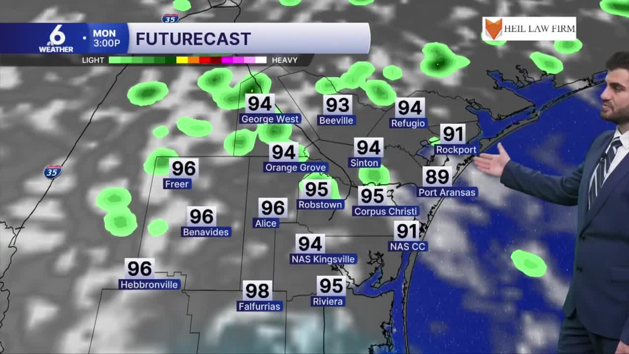
- Scattered showers and thunderstorms to start the week (20%)
- Daytime highs in the mid 90s for most of us
- Winds from the east-southeast around 10-20 mph, gusting to 25 mph
- Rain chances hold on daily around 20% coverage
Rain Chances For The Week Ahead
Today we'll start seeing more pop up showers as we head through the late morning and afternoon hours as daytime heating really picks up. It won't be all of us at all times, but more so the "popcorn" like activity we've been seeing on the radar recently. This stays true pretty much on a rinse and repeat forecast this week with daily chances around ~20% coverage for the region, so hopefully we'll all have a chance at a quick drink of water through the days ahead. I wouldn't expect major rainfall totals, but if you get a stronger downpour or a couple of quick showers it wouldn't be too surprising to see a couple neighborhoods picking up closer to ~0.5" of rain coming down through the next few days.
Summer's last day, but the heat holds on
Today is the last day of astronomical summer with fall starting on Tuesday officially at 7:05PM. However, going into the week ahead we're still going to be holding on to above average temperatures that feel more like summer in the Coastal Bend. Daytime highs will round out in the mid 90s for the entire seven day forecast, and when accounting for humidity we'll be feeling like the triple digits outdoors on the heat index. The main relief from the heat will be brief in the form of spotty sea breeze showers, so make sure to remember those heat safety practices still and drink plenty of water this week!

I hope you have a great Monday and last day of astronomical summer Coastal Bend!
