



CORPUS CHRISTI, Texas — Happy Monday!
WHAT YOU NEED TO KNOW
- Hot, sunny, and breezy
- Heat alerts possible
- Flood Warning continues along the Nueces River
It's definitely August
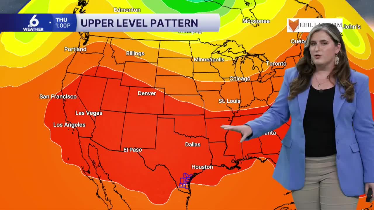
The high pressure that was parked over Texas last week, has been hanging out over the desert southwest. This weather pattern is often referred to as a 'heat dome' because it causes hot weather and little opportunity for rainfall. That heat dome is on it's way back to Texas this week.
A stray shower along the sea breeze is possible, but significant rainfall is not expected this week. Breezy afternoons are in the forecast, with southeast winds gusting as high as 30 mph during the afternoon. This sound help keep temperatures from getting to far from what is typically expected this time of year; still, the humidity will make for 'feels like' temps near the 110s each afternoon. Stay cool out there! Limit time outdoors if possible.
River Flooding
The Nueces River near Three Rivers is still under a river Flood Warning, and should drop to moderate flood stage on Tuesday. 

The City of Corpus Christi expects this additional water to Lake Corpus Christi to send the lake's capacity to more than 80% by Friday. This would put or combined capacity between Choke Canyon and Lake Corpus Christi near 40%! Stage 3 water restrictions will be lifted to Stage 2 as a result, but water conservation is still important!
Have a wonderful week!
