



CORPUS CHRISTI, Tx — Good morning and Happy Tuesday Coastal Bend!
WHAT YOU NEED TO KNOW
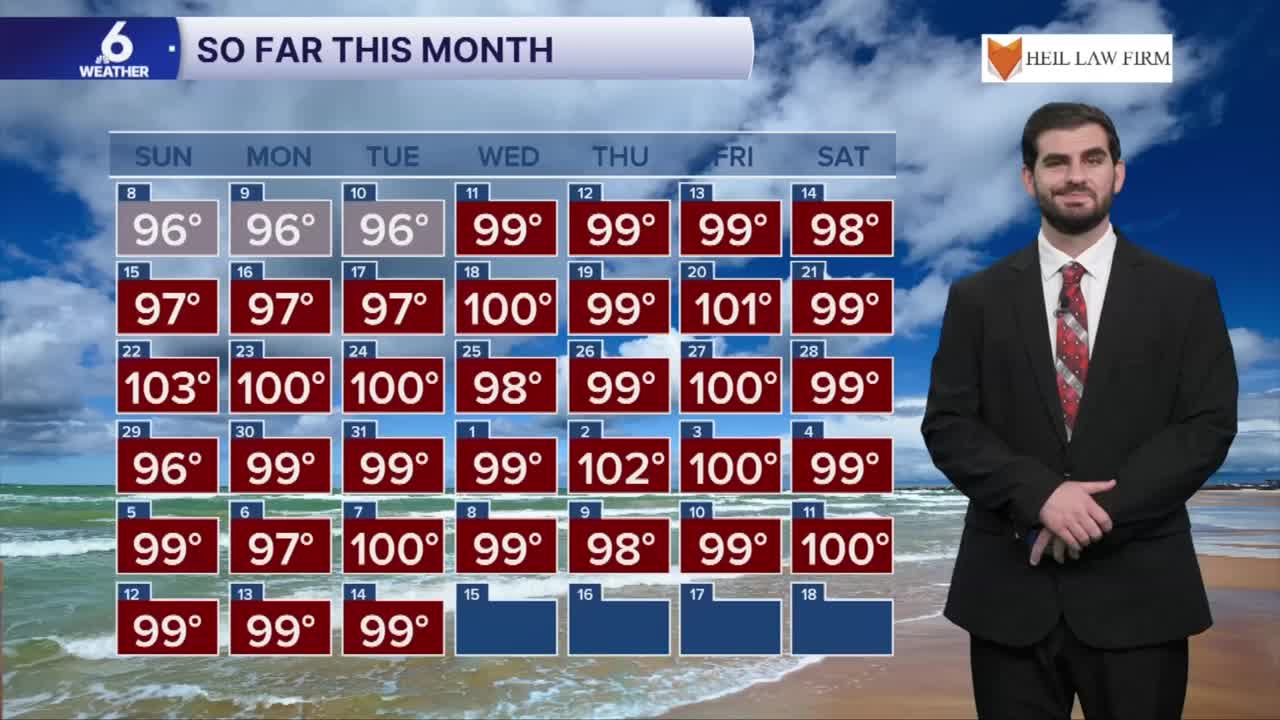
- Partly cloudy skies with highs in the upper 90s and triple digits
- Winds from the southeast around 15-25mph, gusting to 30mph this evening
- Watching rain chances by Thursday into Friday
Hot and Humid to start the week
For our Tuesday forecast we're looking at plenty of heat with daytime highs rising into the upper 90s and lower 100s this afternoon for inland neighborhoods. When you account for the dew points in the upper 70s it will be feeling more like 105-110F later today. Tomorrow looks to continue the trend of plenty of sunshine and heat before we're watching for that next pattern shift heading into the end of the week!
Tracking our Next Rain Chances
By the time we're heading into Wednesday night and Thursday morning we'll be watching for additional gulf moisture to flow into the south Texas area. This will help promote more rain chances for the area and maybe even have heavy downpours embedded within it! Currently it's looking like our best opportunity for more "widespread" rain in months now which is needed with the recent addition of "extreme drought" on our latest drought monitor update. There is still more to nail down with this event such as the timing and the corridor of highest rainfall totals, but for now it's looking like the highest totals will come in right along the coast and then decreasing as you work your way inland. Under the heavier downpours and t-storms we could see 1" in some spots with the majority of us being closer to the 0.25"-0.50" range.

I hope you have a great Tuesday Coastal Bend!
