



CORPUS CHRISTI, Tx — Good morning and Happy Tuesday Coastal Bend!
WHAT YOU NEED TO KNOW
- Mostly Sunny skies with highs in the upper 90s to lower 100s
- Sea Breeze shower or two this afternoon
- Breezy later today with gusts up to 25mph from the Southeast
- Tropical Storm Edouard in the gulf, won't impact South Texas
Summer time heat to start September
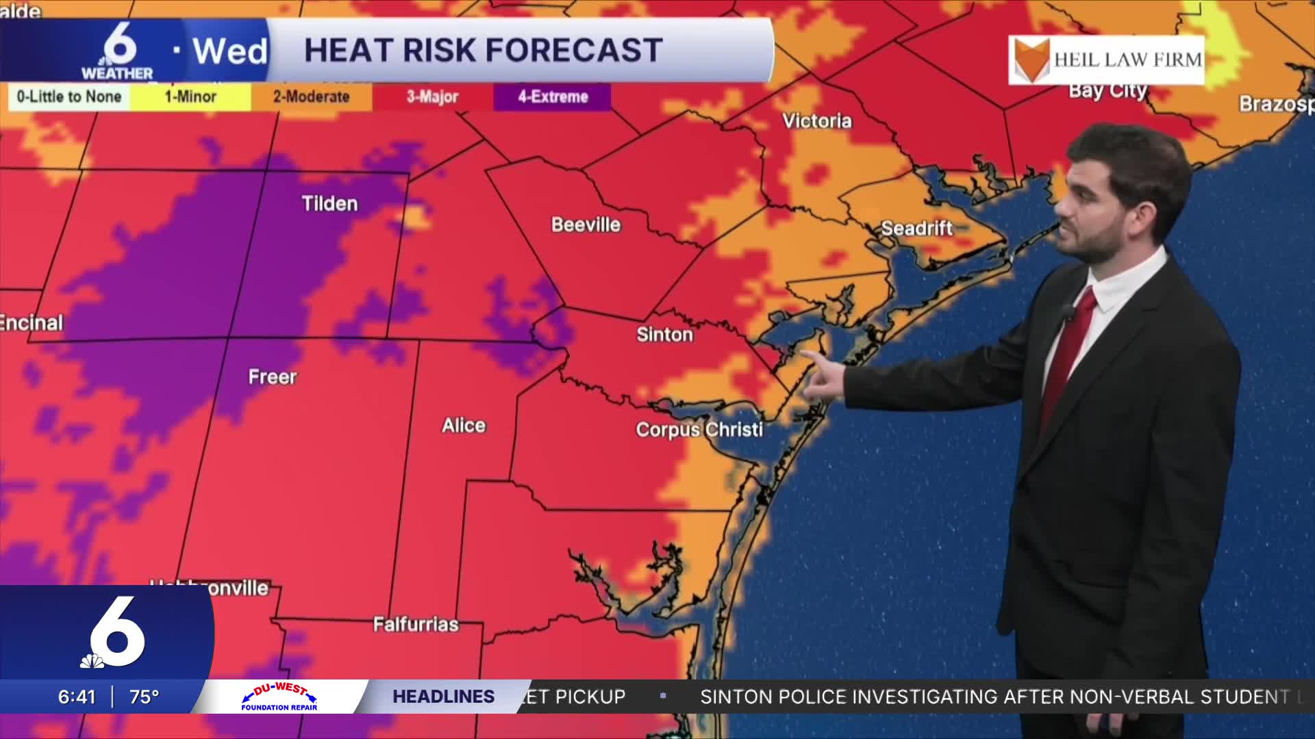
Going into the first day of the month we're still dealing with plenty of heat to go around. Daytime highs are likely to run into the upper 90s and triple digits for inland neighborhoods. Right along the coast towards Port Aransas temps will run closer to the lower 90s, but we can add a good 5-10 degrees when accounting for the humidity to get the "feels like" temperature. For the first week of September we're looking pretty similar with above average daytime highs and plenty of sunshine as we head for next weekend!
Tropical Update and Rain Chances
We now officially have Tropical Storm Edouard in the gulf waters with sustained winds around 40mph. It could strengthen over the next ~12 hours or so before landfall getting closer to Category 1 status, but overall it will weaken quickly after moving inland near the TX/LA border. The bulk of the rain is expected to the north of the Coastal Bend, closer to the I-10 corridor with the heaviest totals along I-45 near Houston. For us we could see a few sea breeze showers, with a slightly better chance at them popping up going into Labor Day weekend.

I hope you have a great Tuesday Coastal Bend!
