



CORPUS CHRISTI, Tx — Good morning and Happy Tuesday Coastal Bend!
WHAT YOU NEED TO KNOW
- Partly Cloudy skies with highs in the mid 90s today and tomorrow
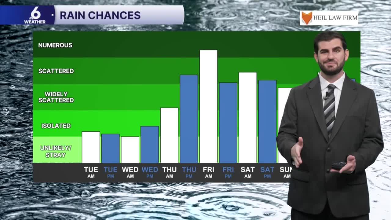
- Rain chances increase Thursday and Friday with heavy downpours possible
- The heavy rains will also lead to a potential flooding risk from Thursday - Saturday
- Cooler temperatures from the rain for the weekend with highs in the 80s
September's Summer Like Heat
For the final days of the month we'll hold on to above average daytime highs in the mid 90s for most of the area and even some upper 90s in inland neighborhoods. Partly cloudy skies are expected through Wednesday with the only chance for cooler air coming from some very spotty sea breeze showers which won't add up to much in terms of rainfall totals. This will still have us "feeling like" the triple digits at times outside, but relief is on the way for October's first days and the end of the week!


Rain Chances on the Rise
As we head into the end of the week we're watching an upper level system come into contact with the remnants of Hurricane Polo. The moisture from Polo will enhance our moisture in the atmosphere leading to heavy downpours at times with lingering rain chances into the weekend as well. This also poses a slight flooding risk for the region we'll need to monitor heading into the end of the week. While exact totals and timing are still being nailed down, it looks like we could pick up a good 2-4" locally with even higher totals in the watershed which is great news for putting a dent in the rain deficit! We'll keep you updated as the situation gets clearer heading through the next few days.

I hope you have a great Tuesday out there and stay cool!
