



CORPUS CHRISTI, Tx — Good morning and Happy Monday Coastal Bend!
WHAT YOU NEED TO KNOW
- Patchy fog focused on inland neighborhoods Monday morning
- Warm and Humid through Tuesday midday
- Cold front arrives Tuesday evening with showers and a t-storm or two
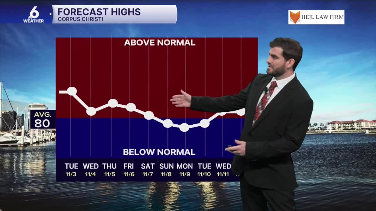
- Cooler and more comfortable for the middle of the week
Tracking our next cold front by Tuesday
An upper level system is pushing across the United States and will work into our neck of the woods by tonight and into Tuesday. This will drive our next cold front into the Lone Star State arriving in the Coastal Bend Tuesday afternoon. Luckily this would mean drier air behind it and more seasonable temperatures returning to end the first week of November with daytime highs in the lower 80s instead of upper 80s! I'm also watching a second piece of energy by late week and into the weekend, but that forecast is still too far out to be certain about for now, so make sure to check back for updates!

Rain Chances Return for South Texas
With Tuesday's cold front we'll see it kick up some showers and thunderstorms as it pushes through in the afternoon. The highest rainfall totals will be for Coastal locations and the northeastern Coastal Bend with areas towards Jim Hogg and Brooks county missing out on a lot of the action unfortunately. By the end of the week for Thursday and Friday we'll see some moisture return to the area and that will likely fire off more Coastal Showers, but the exact amounts and locations still have time to change with a few days to go until that event!

I hope you have a great Monday and start to the week Coastal Bend!
