



CORPUS CHRISTI, Tx — Good morning and Happy Friday, Coastal Bend!
WHAT YOU NEED TO KNOW
- Mostly Sunny skies with highs in the upper 80s and lower 90s
- Winds out of the Northeast around 15-20mph this afternoon
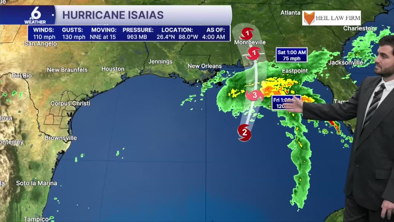
- Isaias now a category 2 hurricane in the Gulf, minimal impacts for the Coastal Bend
- Monitoring some slightly better rain chances for next week
Sunny Skies and Climbing Temperatures
We're expecting plenty of sunshine across the Coastal Bend through the weekend. Drier air moving into the region, combined with abundant sunshine, will help temperatures climb above average. Highs are expected to reach the lower 90s across Corpus Christi and inland communities, while areas along the coast, including Port Aransas and Mustang Island, could stay in the upper 80s nearing 90F. A few spotty afternoon showers may develop, but most neighborhoods will stay dry. Any showers that do form will be brief and move through quickly, leaving you with sunny skies again likely in less than 30 minutes!


Hurricane Isaias and Coastal Impacts
Isaias has intensified to category two strength with winds of 110mph this morning. It's forecast to continue this trend into the afternoon, with winds peaking around 115-120mph which is category three strength, before slightly deteriorating as it approaches landfall in the northern Gulf Coast. There are currently hurricane warnings and watches out from eastern Mississippi through the Florida Panhandle, and tropical storm warnings from New Orleans to near Tallahassee.
For us around South Texas, Isaias will contribute to higher wave heights for Friday and the weekend, as well as an increase in rip current risk. So if you're planning any beach trips, it might be better to stay out of the water or at least not go very deep today and tomorrow! Current wave heights are forecast around 5-7' potentially for our Friday afternoon into Saturday morning.

I hope you have a great Friday and end to the week, Coastal Bend!
