



CORPUS CHRISTI, Tx — Good morning and Happy Monday Coastal Bend!
WHAT YOU NEED TO KNOW
- Partly Cloudy for most of the day with highs in the low to mid 90s
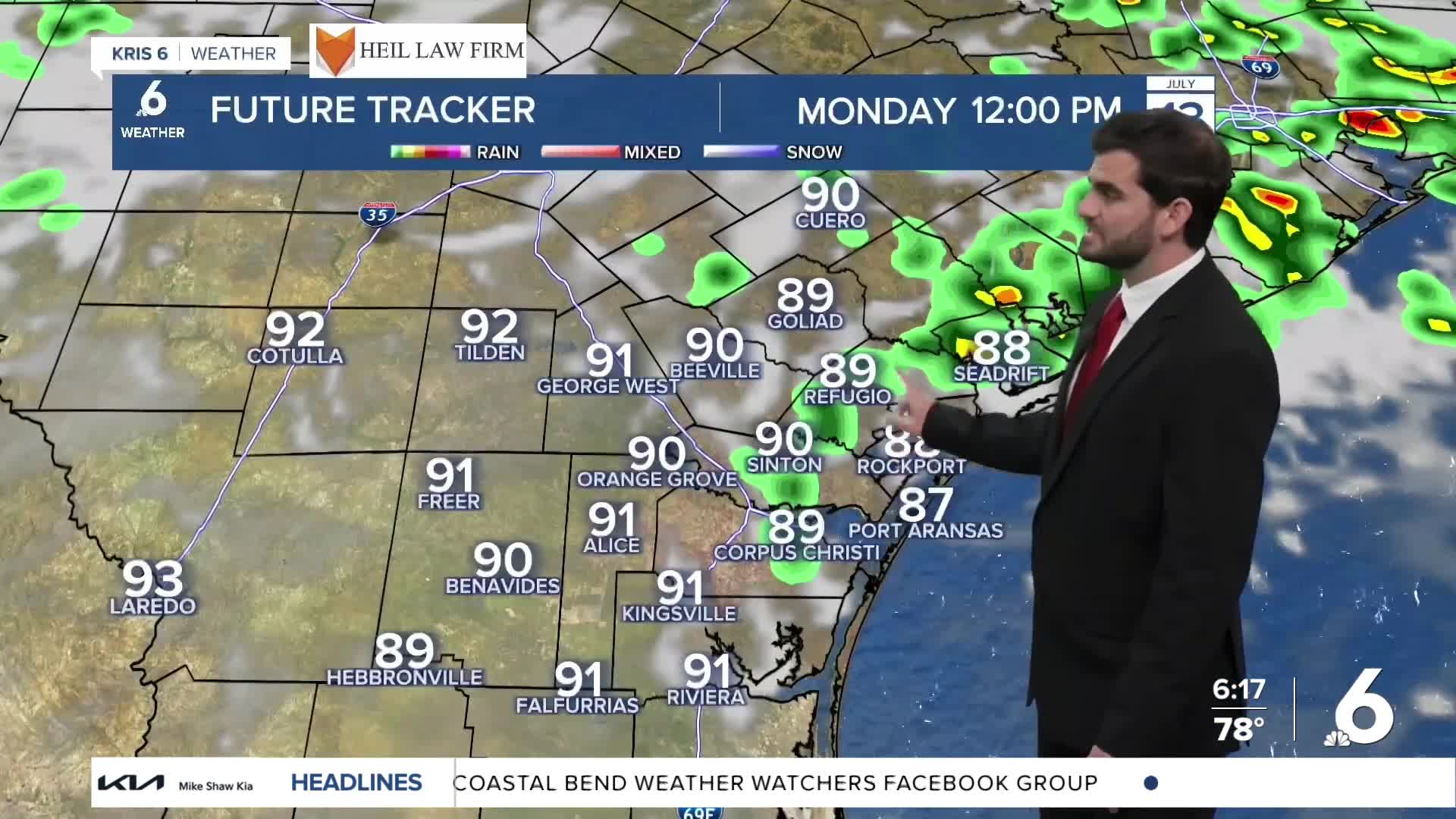
- Stray showers along the sea breeze, working inland this afternoon
- Saharan dust returns, bringing colorful sunsets but possible air quality concerns for sensitive groups
Muggy for Monday
We’re starting off the workweek with plenty of humidity across the Coastal Bend as dew points climb into the upper 70s. That tropical moisture is already helping produce a few light showers early this morning as many head out for the Monday commute. As we move into the late morning and afternoon hours, a few of those showers could become locally heavy downpours, though coverage will remain fairly spotty and hit-or-miss in nature. An isolated rumble of thunder also can’t be ruled out. Through the afternoon, the sea breeze will help push most of the shower activity inland toward Duval, Live Oak, and Bee counties before rain chances gradually fade tonight. Even after the showers end, plenty of cloud cover is expected to linger into tonight.
Chances of Rain Showers
Daily rain chances remain in the forecast this week thanks to a battle between deep tropical moisture and returning Saharan dust. While dew points in the upper 70s continue to provide plenty of moisture for isolated shower development, drier air associated with Saharan dust higher in the atmosphere will work to suppress more widespread rainfall. The thickest dust concentrations are expected today, but additional pulses of dust are likely through the rest of the week. Even so, the atmosphere probably won’t dry out completely, so daily rain chances around 10-20% will stick around through the next several days. Right now, Wednesday morning appears to offer the best chance for more noticeable shower activity on radar, though the overall pattern still favors isolated to scattered tropical showers rather than widespread rain.

I hope you have a great Monday and start to the new week Coastal Bend!
