

CORPUS CHRISTI, Texas — Happy Wednesday!
WHAT YOU NEED TO KNOW
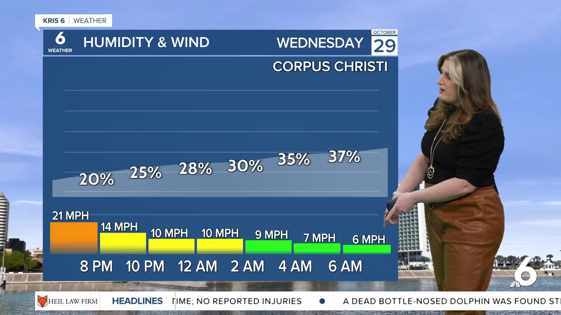
- Less windy
- Chilly morning temps
- Extreme Fire Danger (3-5 out of 5) Thursday
Dry conditions & fire danger
The 'disrespectful winds' are beginning to dial back. This will help fire crews working on local fires across the Coastal Bend. Despite calmer winds, moderate to extreme fire danger continues on Thursday. Please avoid any activities that could set off a spark!

Colder temps and a chance of rain
It takes about 24-48 hours after a cold front's passage for the coldest air to arrive. That means the coldest temps of the week arrive early this morning! Lows will likely be in the mid 40s across our neighborhoods, so bundle up! High temps will again rebound to the upper 70s. Another cold front will arrive on Sunday, keeping fall temps in the forecast. A few showers are possible Saturday and Saturday night ahead of the front, but accumulation don't look impressive.
CORPUS CHRISTI FORECAST
Wednesday night: Cold and breezy
Temperature: Low 46ºF
Winds: N 10-20 mph
Thursday: Dry, chilly, and sunny
Temperature: High 77ºF
Winds: N 5-15 mph
Thursday night: Clear and cold
Temperature: Low 49ºF
Winds: NE 5 mph
Have a wonderful evening!
