



CORPUS CHRISTI, Texas — CORPUS CHRISTI, Texas - Happy Saturday Coastal Bend!
WHAT YOU NEED TO KNOW
- Spotty sea-breeze showers remain in the forecast through Tuesday
- 'Feels like' temps: mid/upper 100s
- Drying off by Tuesday
Sunday Sun & Showers
A wash, rinse, repeat pattern is in the forecast. Rain will be more likely along the sea breeze this weekend, thanks to the location of the "heat dome" of high pressure above us. This rain won't interrupt your weekend plans, thankfully. Sunday will offer the best chance of rain across the Coastal Bend.
By Tuesday, high pressure will lie more directly overhead in the upper levels of the atmosphere, limiting our sea-breeze induced rain chances for the rest of the week. Temperatures this week will remain in the middle to upper 90s closer to the Coast this week. This is normal for the month of August; one of the hottest parts of the year in the Coastal Bend. Morning lows will remain in the upper 70s and low 80s, but 'feels-like' temps will be brushing up against 100 degrees in the late morning/early afternoon hours, topping off in the middle 100s this week. Make sure to stay hydrated when spending time outdoors and reapply sunscreen if you are headed to the beach this weekend.
Monitoring the Tropics
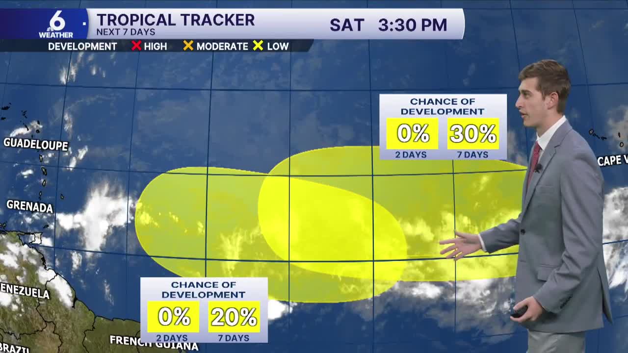
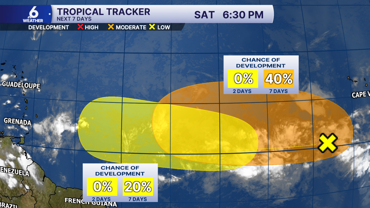
Today, the National Hurricane Center highlighted two areas of interest for potential tropical development. Two tropical waves coming off the coast of Africa may try to organize next week, but development odds are low to moderate as of the 7PM Saturday (20% and 40% respectively over the next 7 days). The tropical wave with a 20% chance of development is expected to encounter a less favorable environment for strengthening. For now, it's just something that we'll be watching over the coming days.
Have a great rest of your weekend!
