

CORPUS CHRISTI, Texas — Happy Tuesday!
WHAT YOU NEED TO KNOW
- A few showers on Wednesday
- Temps rising this week
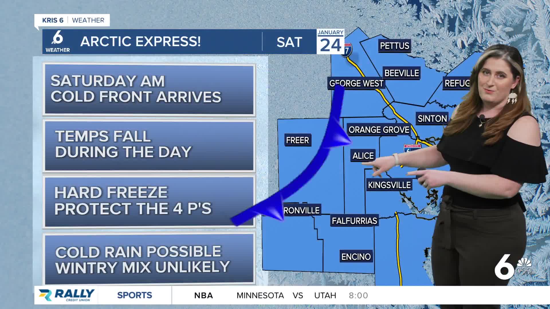
- A strong cold front arrives this weekend
- Cold rain expected, wintry mix unlikely
Rainfall
Rainfall is still expected on Wednesday, though as of now this looks to be a less exciting forecast. There has been a definite downshift in the amount of rain expected. Showers are expected east of HWY 281, and a good downpour or two is still possible, but most the rain we've been expecting looks to stay offshore. Another chance for rain arrives this weekend, starting Friday evening.
Arctic blast
High temps are still forecast to peak in the upper 70s on Friday. This warming trend will end with a strong cold front on Saturday morning. This will be our first arctic cold front of the season; confidence is high that subfreezing morning low temps will arrive in the Coastal Bend by Sunday. It's a good idea to prepare the 4 P's for another freeze next weekend.
The 'weather chisme' or tea has been brewing about the chance for winter weather in the Coastal Bend this weekend. This is very unlikely, but it isn't impossible. If you thought liquid rain was difficult to get in the Coastal Bend, it'll be just as difficult (if not more) for a frozen variety of precipitation to happen. For now, it's just something we're keeping an eye on! At most, freezing rain is a concern for northern neighborhoods. We'll know more as our cold front actually materializes (about Thursday).
CORPUS CHRISTI FORECAST
Tuesday night: Cloudy, a few showers
Temperature: Low 60ºF
Winds: SSE 5-10 mph
Wednesday: Decreasing clouds, scattered showers
Temperature: High 72ºF
Winds: SSE 5-10 mph
Wednesday night: Mostly cloudy
Temperature: Low 59ºF
Winds: SSE 5-10 mph
Have a terrific evening!
