



CORPUS CHRISTI, Tx — Good morning and Happy Wednesday Coastal Bend!
WHAT YOU NEED TO KNOW
- Partly Cloudy skies with highs in the mid 90s this afternoon
- Isolated showers Thursday morning, increases in coverage Thursday afternoon and evening
- Scattered showers and thunderstorms Friday and into the weekend
- Flood watch in effect from Thursday morning through Friday evening
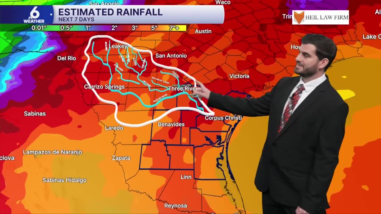
- Rainfall totals with 2-3" widespread likely, and higher localized totals under t-storms and downpours
September's Final Day and the Summer Heat with it
For the last day of the month we're expecting more partly cloudy skies for the majority of the day with daytime highs climbing into the mid 90s and upper 90s for inland neighborhoods. Heat index values are expected to be in the triple digits, and the NWS has issued a heat advisory from 1-7PM for central portions of the area from Corpus Christi through Jim Wells county. We'll also still hold on to a lot of this heat for our Thursday forecast with highs depending on the timing of the rain increase in the afternoon, likely still getting to the 90s before it does.


Rain Chances Rising This Weekend
Starting Thursday afternoon we'll be seeing larger coverage of rain across the region with scattered thunderstorms and downpours developing. For tomorrow night it will become slightly more isolated in nature before increasing in coverage once again for our Friday forecast from the morning through the afternoon. Lingering moisture looks to hold on through Saturday and Sunday, so I wouldn't plan on much in terms of outdoor activities! With the additional scattered showers from Saturday through Monday of next week we'll likely pick up some good rainfall totals with widespread areas of 2-3" and localized higher amount under thunderstorms and downpours. Keep in mind street flooding will be a concern for the net few days as this system rolls through the area so always remember, turn around don't drown!

I hope you have a great Wednesday out there and stay cool!
