



CORPUS CHRISTI, Texas — Happy Thursday!
WHAT YOU NEED TO KNOW
- Disrespectful winds: gusts to 35 mph
- Warmer than usual and humid!
- Watching The Tropics: Invests 92L & 94L
Hot with a chance of rain
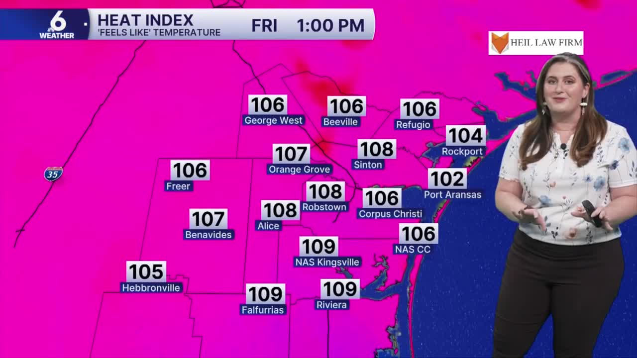
Talk about hot! Friday morning is going to feel like the upper 90s for coastal neighborhoods! With partly cloudy skies keeping overnight temps warm, the humidity is going to hit hard this afternoon. This is climatologically our hottest stretch of the year (August 5- 15) with an average high temperature of 96ºF. Abundant humidity will push 'feels like' temperatures to the 110s by afternoon. If 'feels like' temps stay in the 110s for two hours or longer, a Heat Advisory could be issued again. Please be sure to stay hydrated! Make sure to look before you lock and check on kids, pets, and the elderly as they are more prone to heat-related illness.
As the afternoon sea breeze kicks in, a few showers could develop. I don't think we'll see significant rainfall, but if you are along or west of HWY 77 you might see a few quick 'chispas'.
In The Tropics
There's a moderate likelihood that a pair of tropical waves moving across the Atlantic could develop this weekend. 
It's typical to see an uptick in activity across the open Atlantic as tropical waves leave the western African Coast and emerge over warm water. The areas highlight on this map indicate a probability of 'tropical trouble' forming. Saharan Dust is moving across the Atlantic, too. This is a challenge for each of these easterly waves (known as Invest 92L and Invest 94L). There is no threat to the Coastal Bend at this time.
Have a great evening!
