



CORPUS CHRISTI, Tx — Good morning and Happy Friday Coastal Bend!
WHAT YOU NEED TO KNOW
- Nice morning, with more humidity and cloud cover Thursday afternoon
- Showers for the southern half of the viewing area late tonight and early tomorrow morning
- Cold front tomorrow takes the showers further south
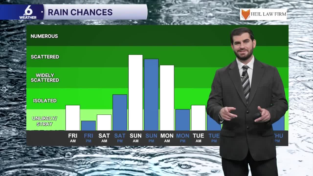
- Rain chances with cooler air returns for Saturday and Sunday(still cooler for the start of next week)
Friday's cold front and the weekend rain chances
For Friday we'll see another cold front track across the Lone Star State and bring with it cooler temperatures for the weekend! Currently we're expecting daytime highs in the 70s with more cloud cover overhead by Saturday afternoon and Sunday. This will also help sustain a ~60-70% rain chance near the south Texas area on Sunday, while exact locations of the possible heavier downpours are still getting nailed down for now it's looking like we could all get in on the action with estimated rainfall totals near ~1" for the watershed and northeastern Coastal Bend, and closer to ~2-3" for western and southern neighborhoods when accounting for last night's activity as well.


Cool second week of November with another rain chance on the way
The upper level energy should start to exit the region by Tuesday of next week, leaving behind the cooler temperatures for the second week of November and feeling more like Fall outside! For now it's shaping up with daytime highs in the mid to upper 70s, and overnight lows in the upper 50s to lower 60s through next Thursday. Keep in mind we're also tracking another upper level system that could bring some energy into the Coastal Bend by Wednesday to kick up some more scattered showers, but that forecast still has a lot of time to change so make sure to check back for updates. Either way we'll take every drop we can get with the moderate to extreme drought encompassing South Texas!

I hope you have a great Friday and weekend Coastal Bend!
