


CORPUS CHRISTI, Texas — Happy Tuesday!
WHAT YOU NEED TO KNOW
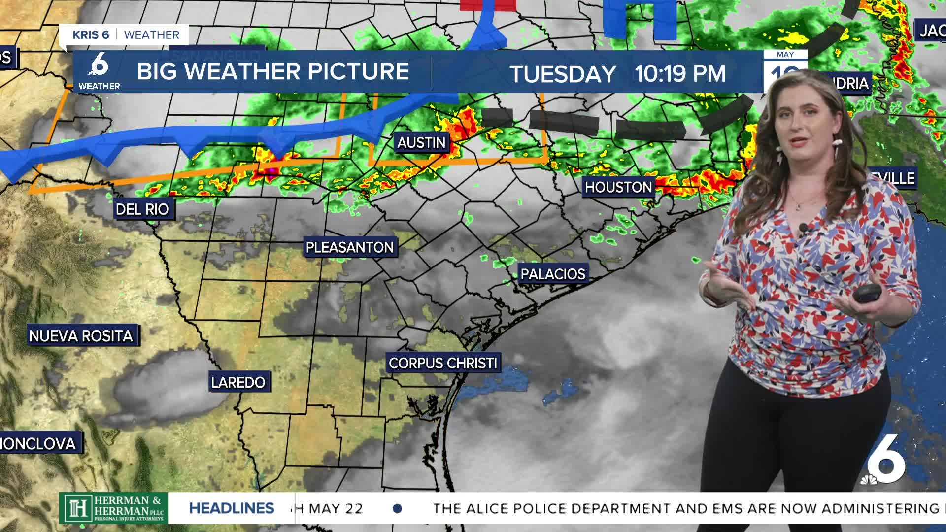
- Severe storms Tuesday into Wednesday
- Heavy rainfall expected through Saturday
STAY WEATHER AWARE!
Another round of storms is expected Tuesday night into Wednesday morning. The timing is uncertain, but generally a line of storms will move in from the north before clearing the coast on Wednesday morning. The main concern with this defined line of storms will be damaging winds. Please have multiple ways to receive weather alerts! Expect morning low temps to remain in the upper 70s while afternoon highs rise to the upper 80s the rest of the week.
RAINFALL ACCUMULATIONS
The atmosphere is very water-logged and unsettled. This means heavy rainfall is expected of the next couple of days. Since Tuesday morning storms brought heavy rain, soil moisture has increased. That's a good thing when it comes to ending our drought and getting rain to move into our reservoirs; it's not so great when more heavy rain is expected and our soils are pretty full. I'll be watching for the risk of flooding as we head through the next couple of days.
