

CORPUS CHRISTI, Texas — Happy Tuesday!
WHAT YOU NEED TO KNOW
- Clouds are clearing out tonight
- Sunny and warmer tomorrow
- High temps: 60s & 70s
Rainfall
Well, the expected rainfall accumulations were indeed modest. Tuesday's rainfall looked impressive on radar, but as I said in Monday's forecast, less than a tenth of an inch fell across our neighborhoods. In fact, while light rain was reported at Corpus Christi International Airport, it was not enough to be measurable (we can this amount 'trace'). Now with the clouds clearing out, our next best chance of rain won't come until Monday evening. It's early, but the rain looks to stay through the middle of next week. Let's hope the forecast trends in favor of that pattern!
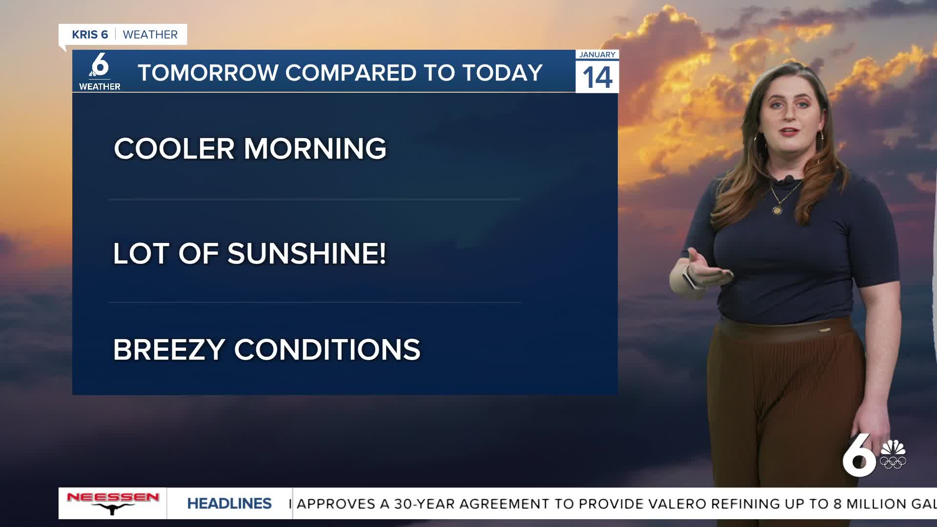
Flip-flopping Temps
As clouds clear from inland to coastal neighborhoods overnight, those temps will follow that trend; expect lower 40s inland and near 50ºF along the coast. But while clear skies will make for a cooler morning on Wednesday, afternoon high temps will be much warmer, too. Expect highs in the mid to upper 70s. The early evening will become breezy as a weak cold front arrives. This front will knock temperatures down a few clicks on Thursday, just for neighborhoods to warm up again on Friday. Temps will flip-flop between the 60s to 70s for afternoon highs into next week.
CORPUS CHRISTI FORECAST
Tuesday night: Clear and cold
Temperature: Low 46ºF
Winds: Calm
Wednesday: Clear skies and much warmer!
Temperature: High 77ºF
Winds: SW 10-20 mph
Wednesday night: Clear and chilly
Temperature: Low 44ºF
Winds: N 10-20 mph
Have a terrific Tuesday!
