



CORPUS CHRISTI, Tx — Happy Veterans Day Coastal Bend!
WHAT YOU NEED TO KNOW
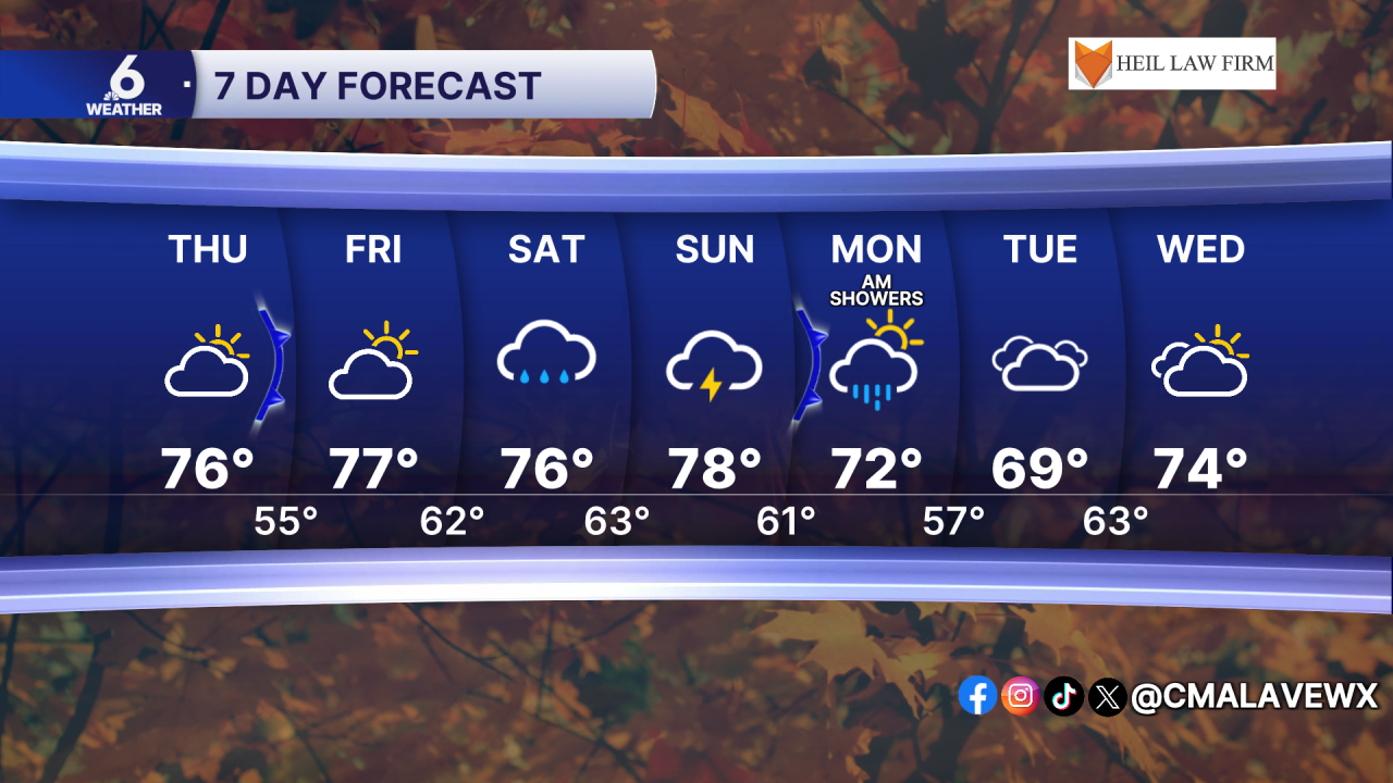
- Cold front arrives Thursday and clears cloud cover
- Highs in the mid to upper 70s, but a few neighborhoods could break 80
- Medium rain chances return this weekend
Here comes the sun
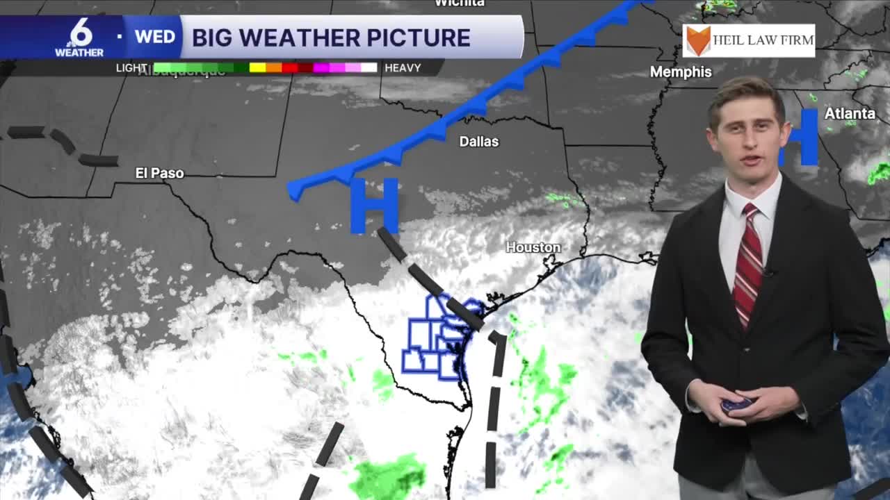
On Thursday, a cold front will push through South Texas, helping to push out the remaining cloudiness overhead. At CCIA, we did not pick up on any measurable rainfall on Wednesday, and that trend will continue through our Thursday and Friday forecast. This frontal boundary will bring in drier air helping to reduce those rain chances until the weekend.
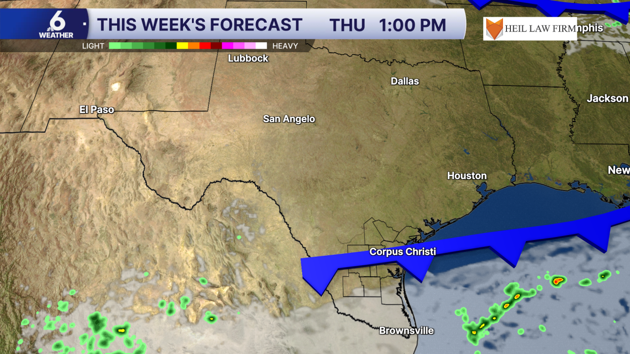
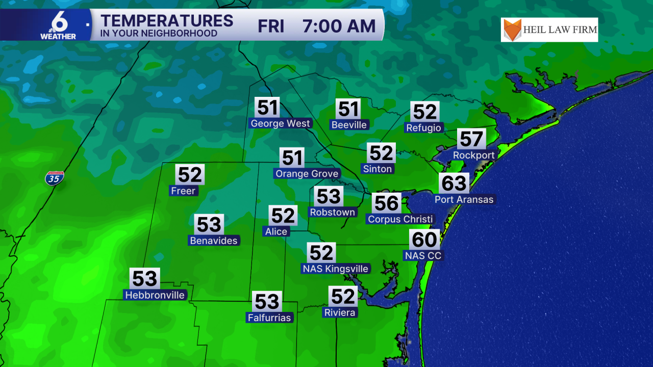
As the clouds begin to give way, starting Thursday afternoon, daytime highs will climb into the 70s in our area, but some spots might be able to surpass that 80 degree mark. The biggest change you will notice is on Friday morning, with morning lows in the middle 50s for most of the region.
Isolated to scattered showers and storms this weekend
For this upcoming Saturday and Sunday's forecast, multiple weather ingredients are coming together to set up medium rain chances across the region. This weekend, onshore flow returns, and will bring in more gulf moisture near the surface. Overhead, we will have some upper level support that will aid in the development of isolated to scattered showers and a few thunderstorms. Models are hinting at shower and storm activity kickoff Saturday afternoon and may linger through Sunday and Monday. The good news is that we're not expecting a replica of this past weekend's forecast. Current rainfall estimates suggest we could expect anywhere from under a half an inch of rain up to 1 inch in our Northern coastal neighborhoods.
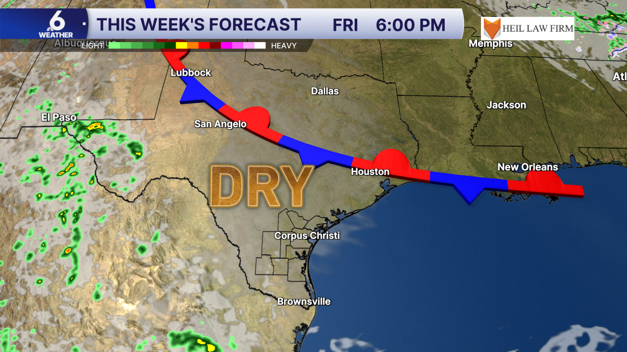
A stationary boundary that will be positioned to our North on Friday is expected to finally push through our area as a stronger cold front which may have a more noticeable temperature drop. By next Tuesday, we could have highs topping out in the upper 60s, but that is subject to change over the coming days. Keep checking back in on the forecast as the intensity of this secondary front becomes clearer.
Have a great rest of your Veterans Day
