



CORPUS CHRISTI, Texas — Happy Tuesday, Coastal Bend!
WHAT YOU NEED TO KNOW
- More clouds, a few showers on Wednesday
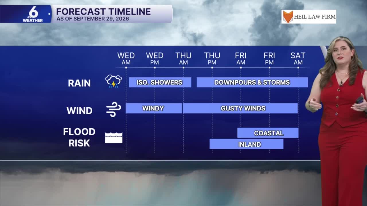
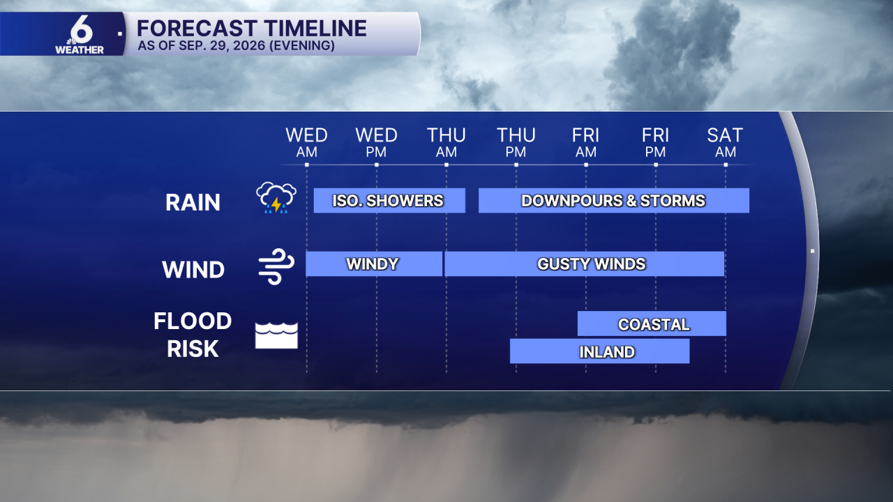
- Flooding risk from Thursday - Saturday
- Cooler temps to start October
What's changing?
As September turns to October, our overall weather pattern will also change. Tropical moisture and energy from Polo (Eastern Pacific basin) will be swept toward Texas. This wet pattern begins very early Thursday and will linger into next week. It looks like our September heat wave will not continue into the first few days of October.
Wednesday
Expect an hot 'Hump Day' as high temps return to the low to mid 90s with 'feels like' temps in the low to middle 100s. Breezy conditions and a few showers are possible. Enjoy the sunshine for now, because clouds will increase Wednesday into Thursday.
Stormy timeline
This pattern change could be a very beneficial forecast for the Coastal Bend, flooding is a concern. Storms arrive very early on Thursday morning. Expect stormy weather on Thursday and Friday, as a cold front moves toward the Coastal Bend. Once the front passes, we'll expect an "overrunning pattern" with lighter, but continued rainfall over the weekend. I'll keep an eye on any developments this week.
Stay weather aware, friends!
