



CORPUS CHRISTI, Texas — CORPUS CHRISTI, Texas - Happy Sunday Coastal Bend!
WHAT YOU NEED TO KNOW
- A few afternoon showers bubble up on Monday
- 'Feels like' temps: mid/upper 100s
- High pressure rebuilds overhead on Tuesday
- Rain chances remain slim to none headed into next weekend
Back to School Forecast
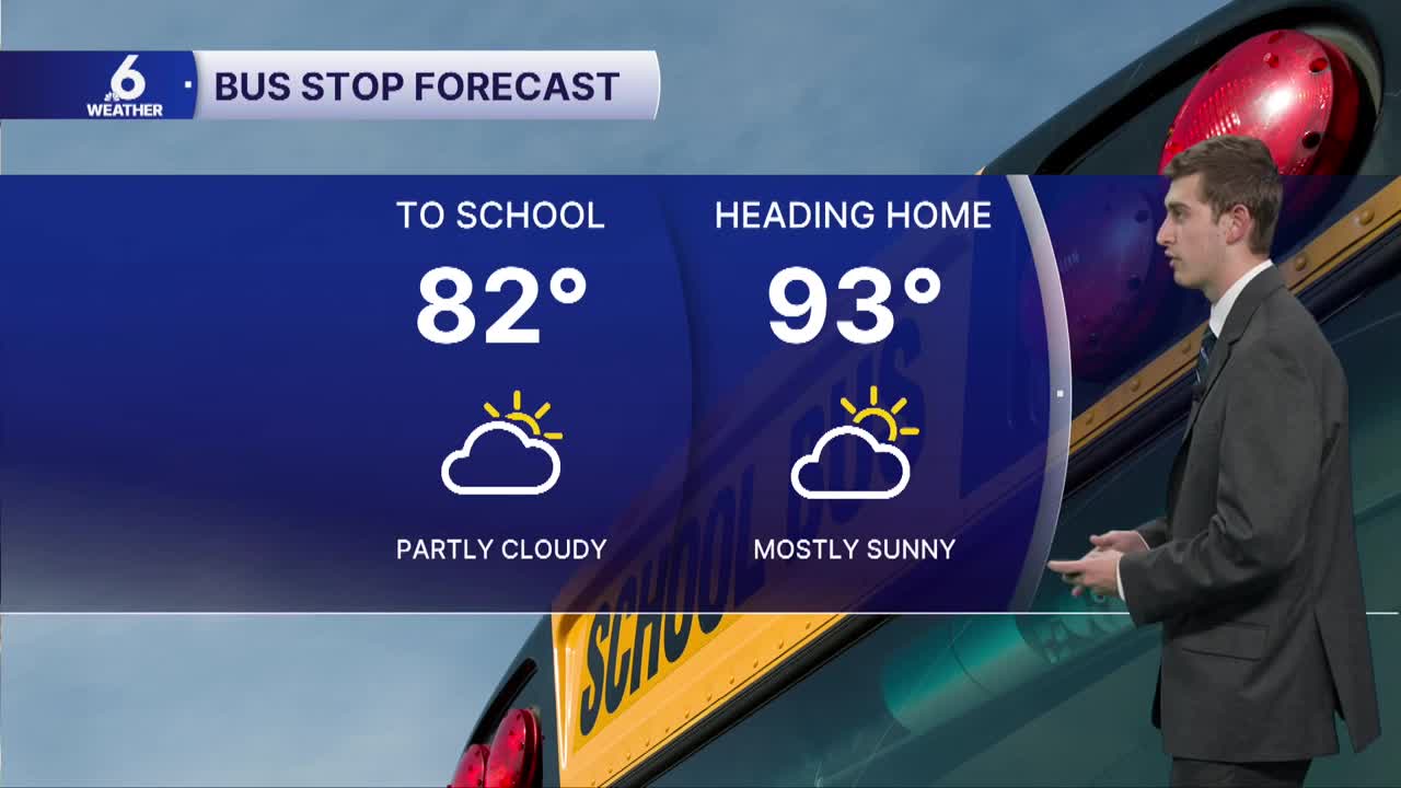
Showers and storms are developing near the coast this afternoon and moving further inland along the sea-breeze. Most of the showers will taper off by around 7pm tonight, leaving us dry overnight into Monday morning. If you are dropping off your kids at school tomorrow or taking them to the bus stop tomorrow morning, the weather will be cooperating with us during the morning hours. By noon tomorrow, pop-up showers and storms will once again develop along the coast and in a somewhat similar weather pattern to Sunday. The rain will clear out by Monday evening, and after that, we will transition to drier afternoons this week.
Near the halfway point of this week, the Coastal Bend will be caught under a ridge of high pressure that will stabilize our atmosphere, and heat things up this week. Temperatures remain around the average of 96 degrees for the month of August, but by the tail end of the week, you may notice our air temperatures a degree or two warmer, which may cause our 'feels-like' temperatures to approach or exceed 110+ degrees. Our area may be under heat advisories in the next few days, so make sure to be practicing heat safety this week!
Tropical Waves Emerge
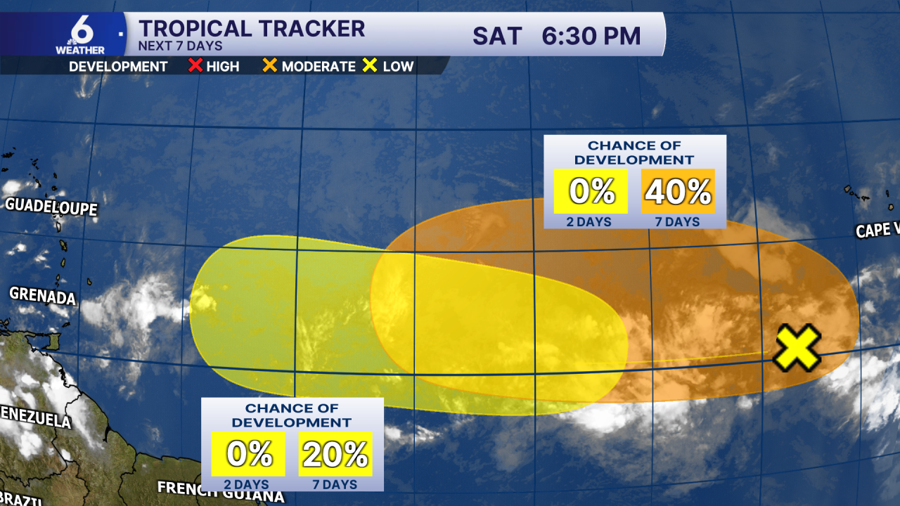
The National Hurricane Center is still watching two areas of interest for potential tropical development. The tropical wave in yellow is currently sitting a few hundred miles off of the Cabo Verde Islands already in the Atlantic. As this wave approaches the Lesser Antilles while moving to the west, the upper-level wind pattern and Saharan Dust will create an unfavorable environment for significant strengthening. As of the 1PM CST NHC Update, a tropical wave coming off the west coast of Africa on Tuesday could become a tropical depression later this week. Development chances have been bumped up to 50% over the next 7 days, but we aren't expecting either of these waves to become anything in the next 48 hours. There are no immediate concerns for the Coastal Bend.
Long-range models are hinting as a possible turn to the north in the Atlantic, but for now it's just a matter of watching and waiting to see how the forecast pans out. With a slightly more difficult environment for tropical cyclones to develop, we will continue to watch how this forecast pans out. Keep checking back in with your KRIS 6 Weather team as we follow this over the next few days.
Have a great rest of your weekend!
