



CORPUS CHRISTI, Tx — Good morning and Happy Tuesday Coastal Bend!
WHAT YOU NEED TO KNOW
- Partly cloudy skies with highs in the mid 90s to triple digits inland
- Breezy afternoon with southeasterly gusts around 25mph
- Tropics are starting to get more active later this week
- Lake Levels have risen, but local drought is starting to also increase in area
Tuesday Forecast and The Heat Ahead
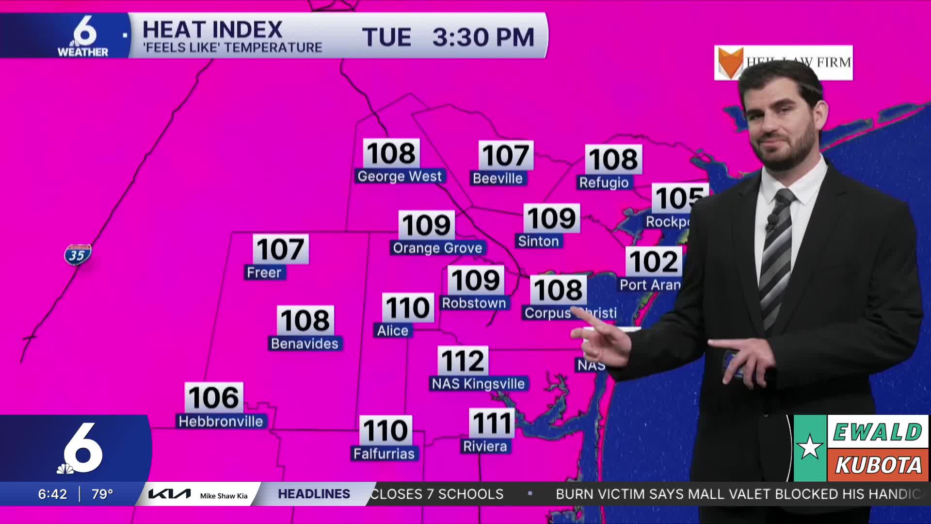
Going into today we'll start off with a decent amount of cloud cover this morning before it burns off heading into the afternoon leaving sunshine in its wake. Temperatures are expected to climb into the mid and upper 90s with a few triple digits for inland neighborhoods. We'll also see a decent breeze once again around 25-30mph for peak gusts out of the southeast this afternoon. Going into the next few days things are only expected to remain the same or even climb by another degree or two so make sure to remember those heat safety practices and take breaks if you'll be outdoors for extended periods of time!
Tropical Trouble and Lake Levels
For now the National Hurricane Center is watching three areas of interest out in the Atlantic Ocean. Two of which only have a 10% chance of development through the next week, but the third which is furthest out in the waters is expected to move into an area of more favorable development giving it a 70% chance and is expected to become a tropical depression later this week. For now for us in the Coastal Bend this doesn't mean much with how far out it is in the water, but we're watching it and will keep you updated! In terms of the lake levels, Lake Corpus Christi has risen to 91.4% bringing the combined storage percentage to 43.2% which we haven't seen since June 26, 2023! However Choke Canyon is slowly decreasing, sitting around 24.6% this Tuesday morning compared to a week ago at 24.9%.

I hope you have a great Tuesday Coastal Bend!
