



CORPUS CHRISTI, Tx — Happy Saturday Coastal Bend!
WHAT YOU NEED TO KNOW
- Consistent upper 90s for the end of August
- A stray shower or thunderstorm possible during the afternoon hours
- Meteorological fall begins September 1st
Timing out weekend rain chances
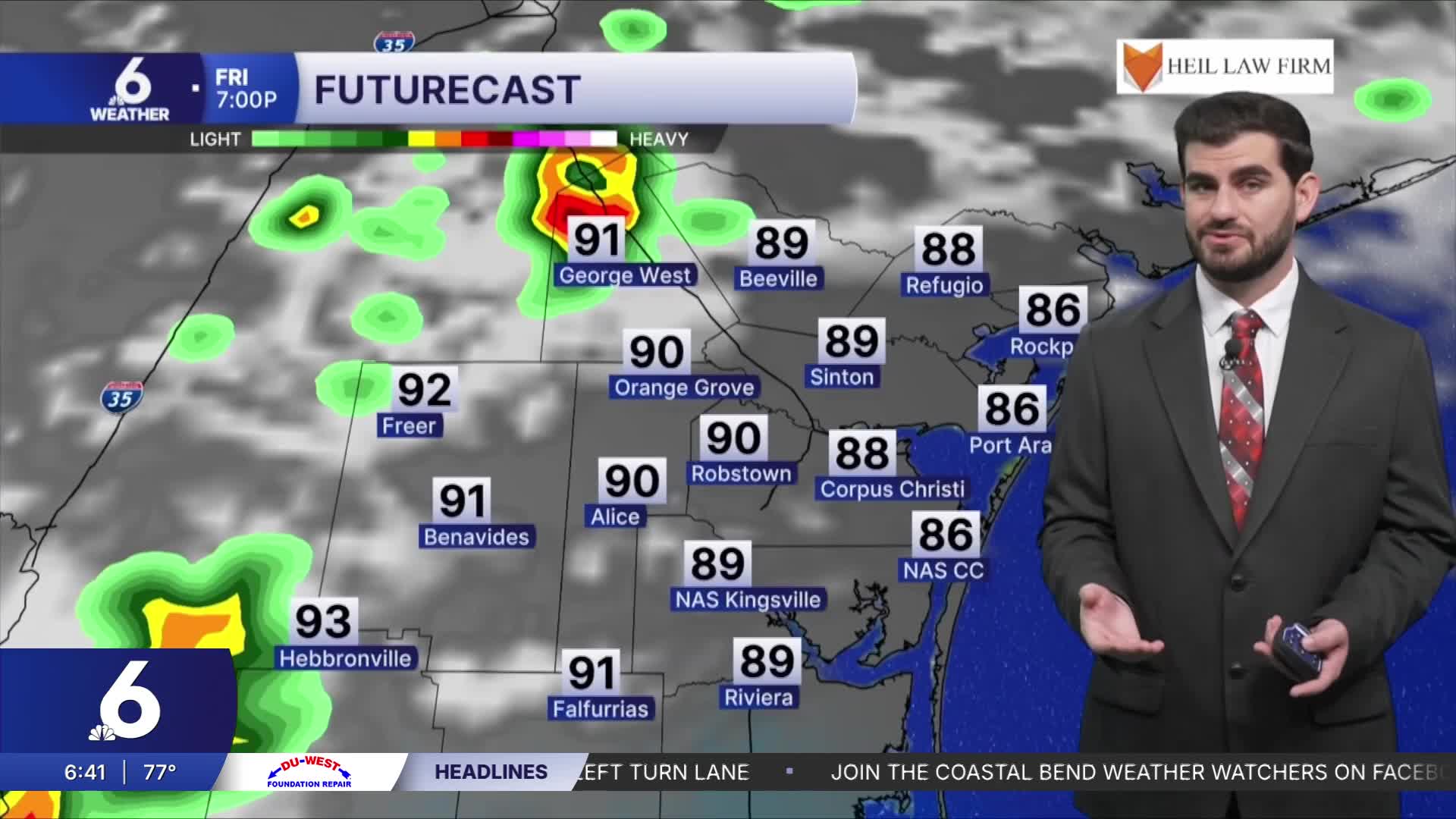
This afternoon, a few storms have been able to develop along the sea-breeze. Some of these storms have contained heavy rain and lightning. If you hear thunder, that means you are close enough to be struck by lightning, so you need to head indoors when thunder roars. Through the rest of this weekend into early next week, a wash, rinse, and repeat pattern remains in place as we will continue to have very limited daily rain chances. Most neighborhoods won't see the rain, but any rain is better than no rain to help with our moderate to severe drought conditions across the Coastal Bend.
The week ahead
By Thursday, rain chances slightly improve, roughly 15%-25% coverage across the area, but we're not anticipating drought busting rain. With high pressure shifting over to the eastern United States, a good majority of the country will be warmer than usual for the start of September. Temperatures this week will cling to the middle to upper 90s in Corpus Christi, and for our friends in the Coastal Plains, upper 90s to low 100s in a few spots will linger. While the forecast won't be completely rain-free, most neighborhoods can expect sun and clouds to wrap up the month of August. With rain chances not looking too promising through the end of this month, CCIA may go without measurable rainfall for the entire month of August for only the third time ever since observations began.

Tracking the Tropics
We're watching two areas of interest in the tropics this weekend. The remnants of Dolly could try to reorganize within the next couple of days, which is why the National Hurricane Center has highlighted an area in yellow in the Caribbean. However, redevelopment of the wave is unlikely. These storms could bring locally heavy rainfall to the Leeward Islands, the Virgin Islands, and Puerto Rico over the coming days.
Another area to watch is a cluster of showers in the Gulf associated with a weak area of low pressure. Currently, it is sitting about 125 miles offshore of Pensacola, Florida as of the 1PM CST update. If this system does try to develop into something tropical, its growth would be slow and gradual. At the present time, there is only a 20% chance of development over the next 7 days. There's still time to watch these blobs in the tropics.

Have a great rest of your weekend!
