

CORPUS CHRISTI, Tx — Good morning and Happy Wednesday!
WHAT YOU NEED TO KNOW
- Cloudy morning in the 60s and 70s
- Another breezy afternoon with gusts up to ~35mph
- Warm days ahead through Saturday with highs in the 80s
As we kick off a new day in the Coastal Bend we're seeing most of the fog steer clear of the area luckily. By this afternoon I'm expecting some more pops of sunshine through the clouds which puts us into the 80s for daytime highs once again. One more not is that we'll see another breezy day similar to yesterday afternoon with peak gusts getting to ~30-35mph around Corpus Christi by 3-6pm this evening.
As we push through the rest of the week we'll likely hold on to the above average temperatures around the low to mid 80s here in Corpus Christi. We could even see some 90s make their way into our western neighborhoods towards Falfurrias, Freer, and Hebbronville.
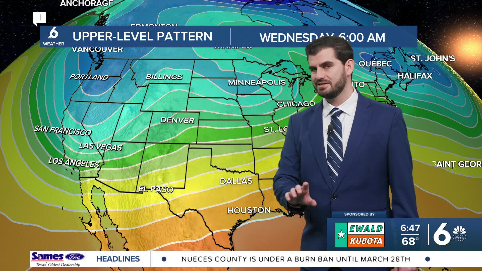
By Saturday evening we'll see our next cold front really push through the area and drop temperatures around the Coastal Bend. Sunday and Monday we're looking at the upper and mid 60s potentially for afternoon highs! However, it does look brief with next Tuesday already starting to bring temps back up.
CORPUS CHRISTI FORECAST
Today: Cloudy Morning, Breezy and Warm Afternoon
Temperature: 82F
Winds: SE 15-25 mph, G 25-35 mph
Tonight: Mostly Cloudy
Temperature: 65F
Winds: SE 10-20 mph, G 20-25 mph
Thursday: Cloudy Morning, Sunny Afternoon
Temperature: 84F
Winds: S 5-15 mph

I hope you have a great Wednesday!
