

CORPUS CHRISTI, Tx — Happy Tuesday!
WHAT YOU NEED TO KNOW
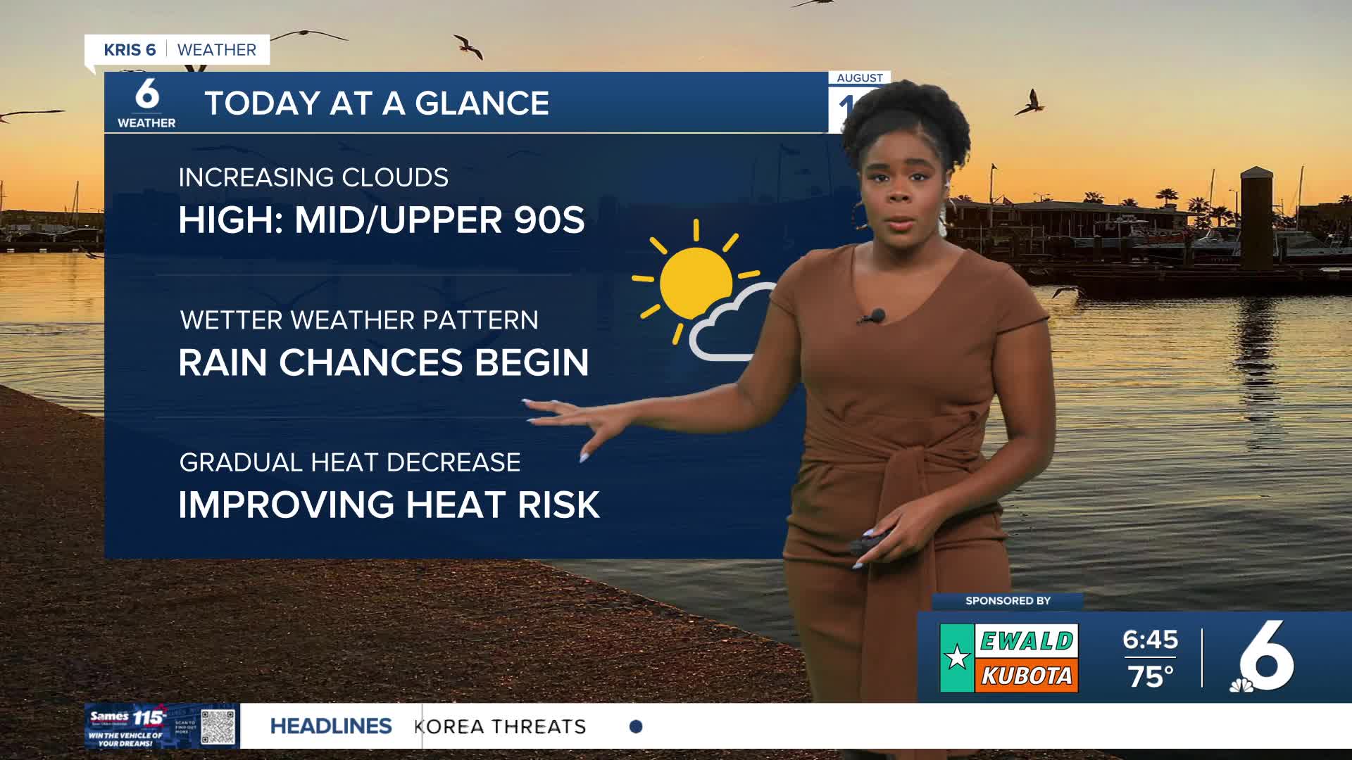
- Increasing clouds into the afternoon
- The start of a wetter weather pattern
- Gradually improving heat risk
We'll see more clouds gather in our skies today, and our daily rain chances will begin, too. Temperatures will still be in the mid to upper 90s, and feel-like temperatures will top out around 109°F. Isolated afternoon to evening t-showers are in the forecast.
As for the tropics, we have a new tropical wave just off the coast of West Africa with a 30% chance of development over the next 7 days. We are still monitoring a tropical wave over in the eastern tropical Atlantic. It has a 60% of formation over the next 7 days, and it is forecast to follow a similar path to Erin as it develops. Hurricane Erin, after strengthening to a category 5 over the weekend, it had decreased to a category 3. Impacts right now include heavy rainfall expected over portions of Hispaniola. Tropical Storm Watches and Warnings are in place for Turks and Caicos, the southeast Bahamas and coastal North Carolina. The system will produce dangerous surf and rip currents for much of the East Coast of the U.S.
CORPUS CHRISTI FORECAST
Today: Mostly sunny, isolated afternoon to evening t-showers
Temperature: High 97ºF
Winds: SE 10-20 mph
Tonight: Partly cloudy, a few showers possible
Temperature: Low 77ºF
Winds: Light & variable
Wednesday: Mostly sunny, isolated t-showers
Temperature: High 97ºF
Winds: SE 10-20 mph
Have a great day!
