

CORPUS CHRISTI, Tx — Good morning and happy Friday!
WHAT YOU NEED TO KNOW
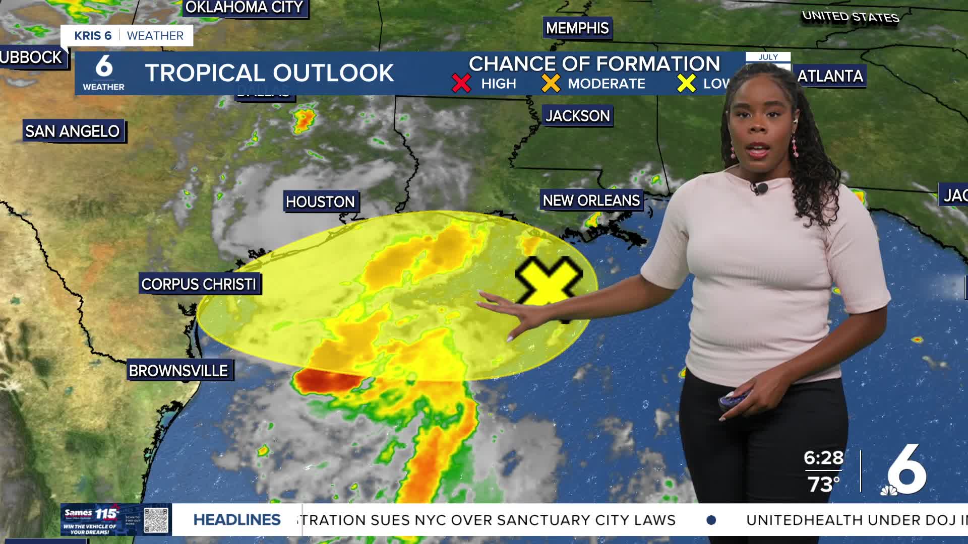
- Tropical moisture arrives today
- isolated to scattered showers and t-storms expected today and this weekend
- Cooler and near-average temperatures
We get a break from the heat today and this weekend as temperatures are regulated to near or below average. The long-awaited tropical moisture we've been discussing all week arrives today, contributing to the cooler temps and our rain activity beginning this afternoon. Showers will begin to cycle into coastal neighborhoods by this afternoon before decreasing early in the evening and then increasing again late into the overnight.
The most activity we'll see from this rain event will be Friday night into Saturday morning. Coastal portions of the area are under a marginal risk (level 1 out of 4) for Excessive rainfall today and tomorrow as heavy downpours are anticipated. The same parts of the Coastal Bend are under a marginal risk for flooding today and tomorrow.
Dry conditions and above-average heat return early next week
CORPUS CHRISTI FORECAST
Today: Sun/cloud mix, afternoon t-storms
Temperature: High 93ºF
Winds: SE 10-20 mph
Tonight: Mostly cloudy, scattered t-storms
Temperature: Low 76ºF
Winds: S 5-15 mph
Saturday: Partly sunny, isolated to scattered storms
Temperature: High 92ºF
Winds: SE 10-20 mph
Have a great day and a wonderful weekend
