

CORPUS CHRISTI — Though Monday morning, at 2:50AM to be a bit more exact, will bring the official start of Fall and the autumnal equinox it is still going to be feeling very much like summer in South Texas.
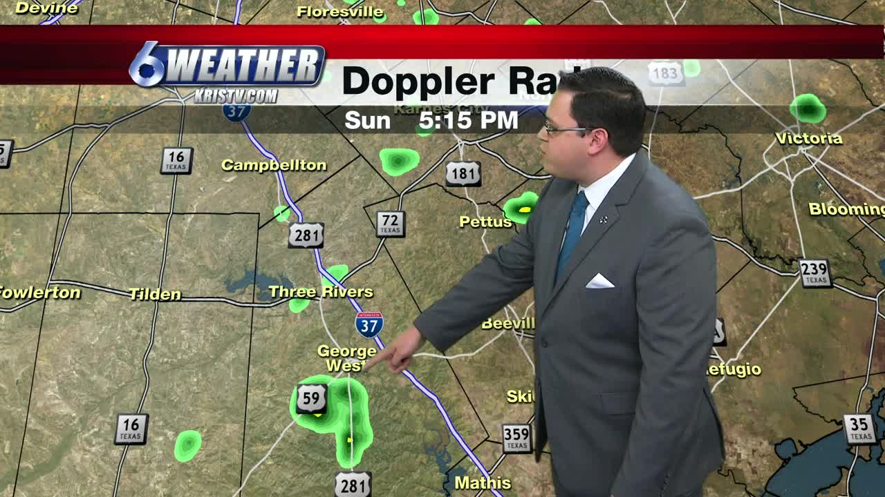
We had a few little showers in the region today, but a vast majority of us remained dry. Officially out at Corpus Christi International we did receive over three tenths of an inch of rainfall.
We continue to have a very good tap of moisture coming from the Gulf as upper-level high pressure sits over the southeastern half of the United States. With clock-wise flow around that dome, and a minor little disturbance in the western Gulf, we'll hold on to a stray to isolated showers possibility in the area for Monday and into Tuesday.
Tonight will be warm and muggy with a low of 76. Wind: SE 4-8MPH
Monday look for a good mix of clouds and sun and as the afternoon heat kicks in we'll see some of the showers develop along the seabreeze and start near the coast and then migrate inland. For some of the better developed thundershowers, they could still drop some hefty rainfall totals. High: 93 Wind: ESE 10-15 MPH
Tuesday will hold much of the same with hot temperatures, but the rainfall opportunity drops off some on Wednesday and Thursday as the high pushes a bit further east.
However, it will build back in our direction by Friday and into the weekend and we'll reintroduce a few stray to isolated showers back in the forecast with highs staying in the mid to lower 90s all week. We should be in the upper 80s for this time of year.
Tropics remain active with Tropical Storm Jerry and Tropical Storm Karen in the Atlantic. They are forecast to eventually push back to the northeast and hopefully won't be a bother to anyone.
Summary:
Tonight: Warm and muggy...Low: 76 Wind: SE 4-8 MPH
Monday: Partly cloudy, hot and muggy with some stray to isolated showers...High: 93 Wind: ESE 10-15 MPH
Tuesday: Partly cloudy, hot and muggy with some stray to isolated showers...High: 94 Wind: ESE 10-18 MPH
Wednesday: Less showers, more sunshine...High: 93 Wind: SE 10-15 MPH
Thursday: Plenty of sunshine, hot and humid...High: 94 Wind: SE 10-15 MPH
Friday: More clouds and a few showers back in the forecast...High: 93 Wind: SE 15-20 MPH
Saturday: Partly to mostly cloudy with stray to isolated showers...High: 92 SE 15-20 MPH
